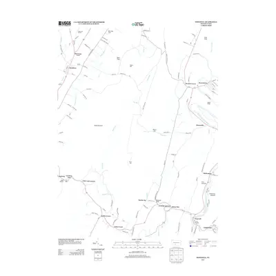
2013 Map of Hopewell
USGS Topo · Published 2013About this map
Morrisons Cove defines the northwestern corner of this landscape, where the settlement of Woodbury sits along the banks of Yellow Creek. The terrain is shaped by the parallel ridges of Tussey Mountain and River Mountain, creating a series of narrow valleys like Woodcock Valley. In the southeast, the Raystown Branch Juniata River winds past several closely grouped communities, including Hopewell, Riddlesburg, and Stonerstown. This river corridor was historically significant for transport and industry, as evidenced by the dense network of small settlements and local roads like Old Pike Road. Small crossroads like Cottles Corner and Little Jack Corners link the productive valley lands to the gaps in the mountains, such as Ravers Gap and Loysburg Gap.
Find a feature on this map
106 named features on this map. Tap any name to fly to it.
Don’t see what you’re looking for? This feature index may not catch every label — zoom into the map to look around manually.
Map Details
Editions of this 2013 Hopewell Map
This is the sole edition of this map. No revisions or reprints were ever made.
Other maps of this area

1900 · Everett
USGS Topo · 1:62,500

1901 · Huntingdon
USGS Topo · 1:62,500

1902 · Everett
USGS Topo · 1:62,500

1902 · Hollidaysburg
USGS Topo · 1:62,500

1903 · Hollidaysburg
USGS Topo · 1:62,500

1904 · Huntingdon
USGS Topo · 1:62,500

1930 · Broad Top
USGS Topo · 1:62,500

1933 · Broad Top
USGS Topo · 1:62,500

1953 · Pittsburgh
USGS Topo · 1:250,000

1954 · Pittsburgh
USGS Topo · 1:250,000
Featured Places
- Woodbury, PA
- Hopewell, PA
- Eichelbergertown, Hopewell Township
- Cottles Corner, Hopewell Township
- Yellow Creek, Hopewell Township