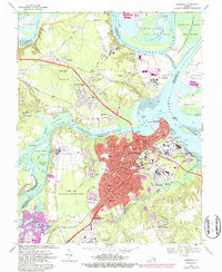
1969 Map of Hopewell
USGS Topo · Published 1987About this map
Hopewell and the confluence of the James River and Appomattox River define this coastal Virginia landscape during a period of heavy industrialization and preservation. The city center is dense with mid-century development, including Randolph Hospital and several schools like Woodlawn Sch, while the riverfront is characterized by Industrial Waste Ponds and sewage disposal systems serving the local economy.
Find a feature on this map
94 named features on this map. Tap any name to fly to it.
Don’t see what you’re looking for? This feature index may not catch every label — zoom into the map to look around manually.
Map Details
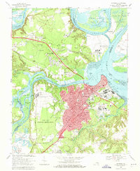
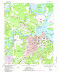
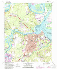
Editions of this 1969 Hopewell Map
4 editions found
Other maps of this area

1894 · Bermuda Hundred
USGS Topo · 1:62,500

1894 · Petersburg
USGS Topo · 1:62,500

1918 · Charles City
USGS Topo · 1:62,500

1919 · Disputanta
USGS Topo · 1:62,500

1938 · Dutch Gap
USGS Topo · 1:24,000

1938 · Drewrys Bluff
USGS Topo · 1:24,000

1943 · Dutch Gap
USGS Topo · 1:31,680

1943 · Hopewell
USGS Topo · 1:31,680

1943 · Disputanta
USGS Topo · 1:31,680

1943 · Richmond
USGS Topo · 1:250,000