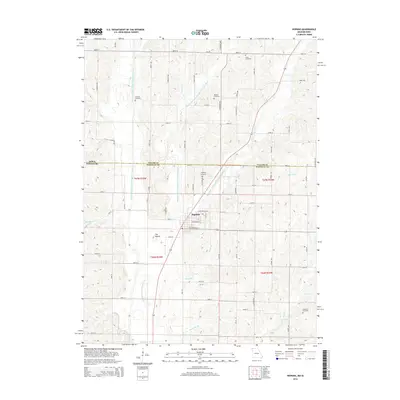
2014 Map of Hopkins
USGS Topo · Published 2014About this map
Hopkins serves as the central hub for this portion of the Taylor and Nodaway County borderlands. The landscape is defined by the convergence of the West Fork, Middle Fork, and East Fork of the One Hundred and Two River, which eventually join south of the town center. This hydrological network dictated the local topography and settlement patterns, leaving distinctive landmarks like The Mound rising above the river valleys.
Find a feature on this map
69 named features on this map. Tap any name to fly to it.
Don’t see what you’re looking for? This feature index may not catch every label — zoom into the map to look around manually.
Map Details
Editions of this 2014 Hopkins Map
This is the sole edition of this map. No revisions or reprints were ever made.
Other maps of this area

1940 · Bedford
USGS Topo · 1:62,500

1940 · New Market
USGS Topo · 1:62,500

1940 · Parnell
USGS Topo · 1:62,500

1943 · Bedford
USGS Topo · 1:62,500

1943 · Parnell
USGS Topo · 1:62,500

1943 · Maryville
USGS Topo · 1:62,500

1943 · New Market
USGS Topo · 1:62,500

1955 · Nebraska City
USGS Topo · 1:250,000

1957 · Nebraska City
USGS Topo · 1:250,000

1958 · Nebraska City
USGS Topo · 1:250,000