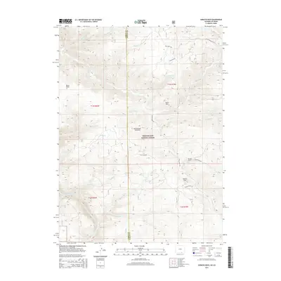
2015 Map of Horatio Rock
USGS Topo · Published 2015About this map
Horatio Rock stands as a prominent landmark in this high-altitude landscape within the Medicine Bow National Forest. Situated along the border of Carbon and Albany counties, the terrain is defined by the Medicine Bow Mountains and the winding course of the North Platte River in the southwest. A complex drainage network of creeks, including Douglas Cr and Sixmile Cr, carves through the forest, while named ridges like Platte Ridge and outcrops like Castle Rock provide navigational anchors for the area. The map illustrates a remote wilderness managed for both conservation and access, with specialized forest routes like Six Mile Gap Rd and Platte River Access Rd providing the only terrestrial links through the deep ravines of Spruce Gulch and the surrounding timberland.
Find a feature on this map
34 named features on this map. Tap any name to fly to it.
Don’t see what you’re looking for? This feature index may not catch every label — zoom into the map to look around manually.
Map Details
Editions of this 2015 Horatio Rock Map
This is the sole edition of this map. No revisions or reprints were ever made.
Other maps of this area

1906 · Medicine Bow
USGS Topo · 1:125,000

1908 · Medicine Bow
USGS Topo · 1:125,000

1950 · Northgate
USGS Topo · 1:24,000

1950 · Kings Canyon
USGS Topo · 1:24,000

1952 · Northgate
USGS Topo · 1:24,000

1952 · Kings Canyon
USGS Topo · 1:24,000

1954 · Rawlins
USGS Topo · 1:250,000

1954 · Craig
USGS Topo · 1:250,000

1955 · Independence Mountain
USGS Topo · 1:24,000

1955 · Kings Canyon
USGS Topo · 1:62,500