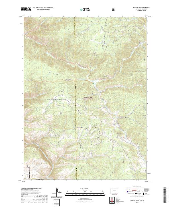
2021 Map of Horatio Rock
USGS Topo · Published 2021About this map
The Medicine Bow Mountains define this high-altitude landscape within the Medicine Bow National Forest along the Wyoming-Colorado border. This modern survey illustrates the intricate drainage patterns of the North Platte River, which carves through the North Gate Canyon in the southwestern quadrant. Landmark features such as Horatio Rock and Castle Rock serve as fixed points for navigators and historians tracing the topography of the Platte Ridge and the broad meadows of Pelton Park.
Find a feature on this map
36 named features on this map. Tap any name to fly to it.
Don’t see what you’re looking for? This feature index may not catch every label — zoom into the map to look around manually.
Map Details
Editions of this 2021 Horatio Rock Map
This is the sole edition of this map. No revisions or reprints were ever made.
Other maps of this area

1906 · Medicine Bow
USGS Topo · 1:125,000

1908 · Medicine Bow
USGS Topo · 1:125,000

1950 · Northgate
USGS Topo · 1:24,000

1950 · Kings Canyon
USGS Topo · 1:24,000

1952 · Northgate
USGS Topo · 1:24,000

1952 · Kings Canyon
USGS Topo · 1:24,000

1954 · Rawlins
USGS Topo · 1:250,000

1954 · Craig
USGS Topo · 1:250,000

1955 · Independence Mountain
USGS Topo · 1:24,000

1955 · Kings Canyon
USGS Topo · 1:62,500