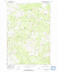
1968 Map of Horse Heaven Creek
USGS Topo · Published 1972About this map
The Horse Heaven Mine and its associated Tailings occupy a critical industrial corner of this Jefferson County landscape, situated just below the heights of Horse Heaven Mountain. This area, mapped in the late 1960s, is defined by a complex network of seasonal drainages and named landmarks that reflect a history of mining and livestock grazing. Numerous springs provide life-giving water to the terrain, including Sand Spring, Buttercup Spring, and several unnamed Springs found at the heads of canyons.
Find a feature on this map
75 named features on this map. Tap any name to fly to it.
Don’t see what you’re looking for? This feature index may not catch every label — zoom into the map to look around manually.
Map Details
Editions of this 1968 Horse Heaven Creek Map
2 editions found
Other maps of this area

1926 · Mitchell
USGS Topo · 1:125,000

1955 · Bend
USGS Topo · 1:250,000

1957 · Bend
USGS Topo · 1:250,000

1958 · Bend
USGS Topo · 1:250,000

1966 · Antelope
USGS Topo · 1:62,500

1966 · Clarno
USGS Topo · 1:62,500

1968 · Horse Heaven Creek
USGS Topo · 1:24,000

1968 · Axehandle Butte
USGS Topo · 1:24,000

1968 · Dutchman Creek
USGS Topo · 1:24,000

1968 · Stephenson Mtn
USGS Topo · 1:24,000