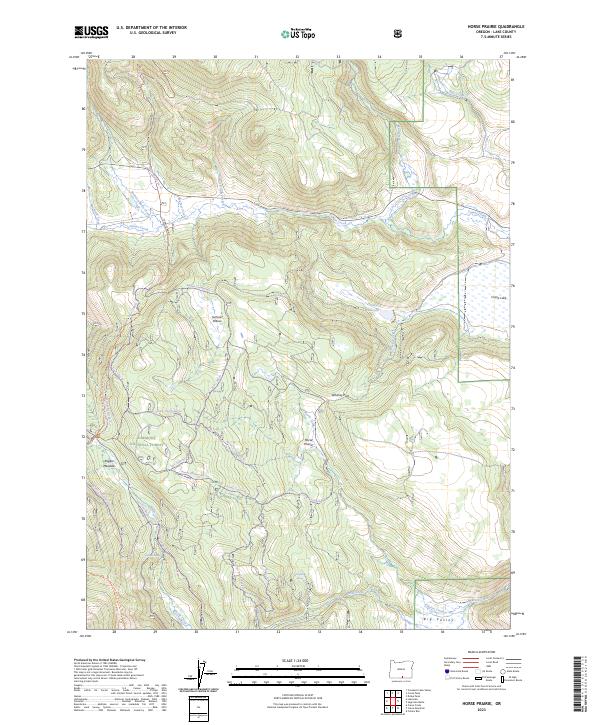
2023 Map of Horse Prairie
USGS Topo · Published 2023About this map
Fremont National Forest defines this high-elevation landscape in Lake County, where open mountain meadows and complex water systems intersect. The terrain is characterized by broad upland openings like Summit Prairie and Horse Prairie, which serve as focal points for a network of seasonal and perennial water sources including Camas Creek, Whiskey Creek, and the Hickey Reservoir. Evidence of high-country land use is visible through the extensive trail systems, such as the Crane Mtn National Recreation Trl and the Warner Snowmobile Trl, which navigate the slopes between Rogger Meadow and the edges of Big Valley. In the south and east, features like Twin Spring and Crane Lake highlight the critical role of water in this arid environment, providing essential landmarks for navigation and resource management.
Find a feature on this map
36 named features on this map. Tap any name to fly to it.
Don’t see what you’re looking for? This feature index may not catch every label — zoom into the map to look around manually.
Map Details
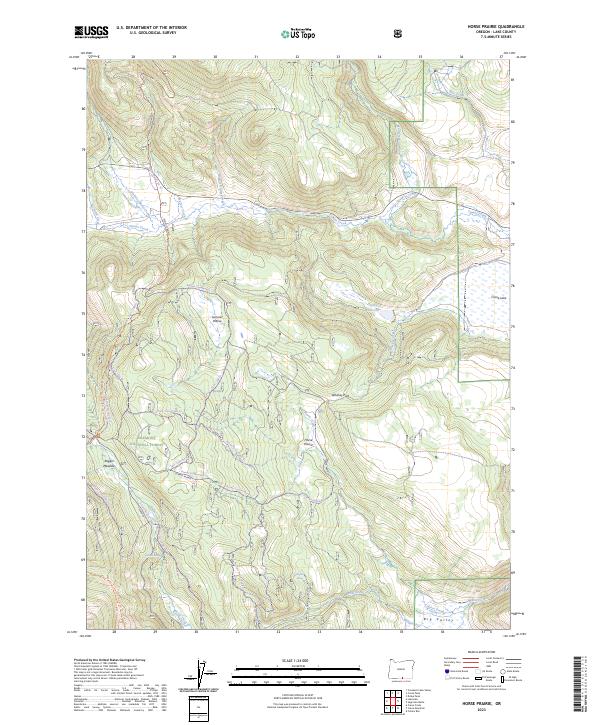
Editions of this 2023 Horse Prairie Map
2 editions found
Other maps of this area

1955 · Klamath Falls
USGS Topo · 1:250,000

1958 · Klamath Falls
USGS Topo · 1:250,000

1964 · Lakeview NE
USGS Topo · 1:24,000

1964 · Crooked Creek Valley
USGS Topo · 1:24,000
1964 · Crane Creek
USGS Topo · 1:24,000
1968 · Sage Hen Butte
USGS Topo · 1:24,000

1968 · Crook Peak
USGS Topo · 1:24,000
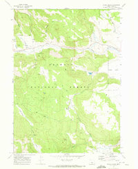
1968 · Horse Prairie
USGS Topo · 1:24,000
1968 · Crane Mountain
USGS Topo · 1:24,000
1968 · Drake Peak
USGS Topo · 1:24,000