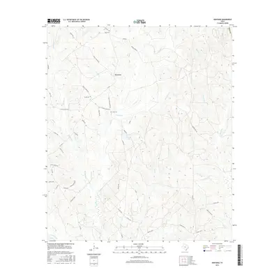
2016 Map of Hortense
USGS Topo · Published 2016About this map
Hortense is the central point of interest in this 2016 East Texas study, located within the Piney Woods region of Polk Co. The landscape is defined by a dense network of creek drainages, including Hickman Cr, Cannon Cr, and Mill Cr, which eventually feed into the larger Big Sandy Cr in the south. These watercourses have historically shaped the road network and settlement patterns of this timber-rich area.
Find a feature on this map
56 named features on this map. Tap any name to fly to it.
Don’t see what you’re looking for? This feature index may not catch every label — zoom into the map to look around manually.
Map Details
Editions of this 2016 Hortense Map
This is the sole edition of this map. No revisions or reprints were ever made.
Other maps of this area

1954 · Beaumont
USGS Topo · 1:250,000

1955 · Camden
USGS Topo · 1:62,500

1955 · New Willard
USGS Topo · 1:62,500

1957 · Beaumont
USGS Topo · 1:250,000

1958 · Livingston
USGS Topo · 1:62,500

1958 · Segno
USGS Topo · 1:62,500

1984 · Hortense
USGS Topo · 1:24,000
1984 · Chester
USGS Topo · 1:24,000

1984 · Soda
USGS Topo · 1:24,000

1984 · Beaumont
USGS Topo · 1:250,000