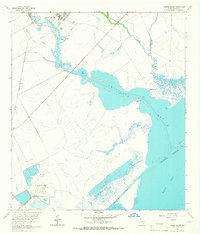
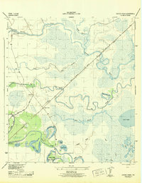
1963 Map of Hoskins Mound
USGS Topo · Published 1966About this map
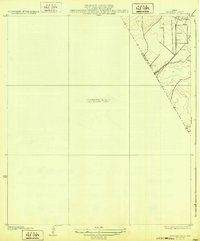
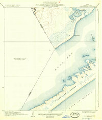
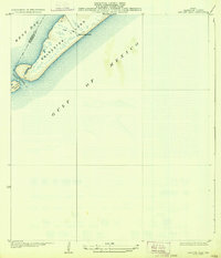
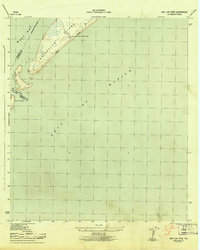
Hoskins Mound rises above the marshy coastal landscape of Brazoria County, serving as the site of significant industrial activity centered around Sulphur Wells and a Pumping Sta. The settlement of Hoskins sits along the Missouri Pacific railroad line, which provides the primary overland transport link to the interior. This coastal area is defined by its complex hydrology, where Chocolate Bayou winds through Horseshoe Bend before opening into the wider waters of Chocolate Bay.
Find a feature on this map
31 named features on this map. Tap any name to fly to it.
Don’t see what you’re looking for? This feature index may not catch every label — zoom into the map to look around manually.
Map Details
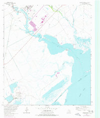
Editions of this 1963 Hoskins Mound Map
2 editions found
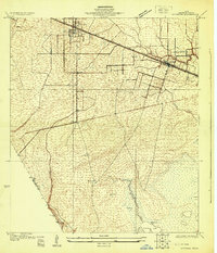
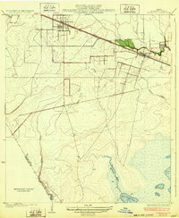
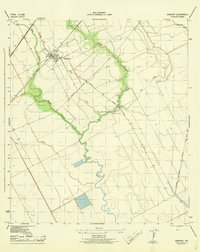
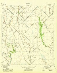
Other maps of this area

1929 · Karankawa Lake
USGS Topo · 1:24,000
1929 · Hitchcock
USGS Topo · 1:24,000
1932 · Hitchcock
USGS Topo · 1:31,680
1932 · Mustang Bayou
USGS Topo · 1:31,680
1933 · Karankawa Lake
USGS Topo · 1:31,680
1933 · San Luis Pass
USGS Topo · 1:31,680
1943 · San Luis Pass
USGS Topo · 1:31,680
1943 · Oyster Creek
USGS Topo · 1:31,680
1943 · Danbury
USGS Topo · 1:31,680
1943 · Mustang Bayou
USGS Topo · 1:31,680