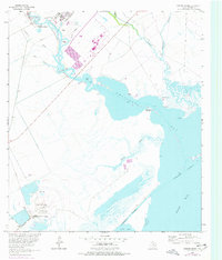
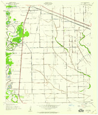
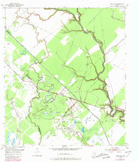
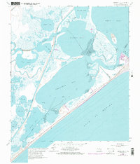
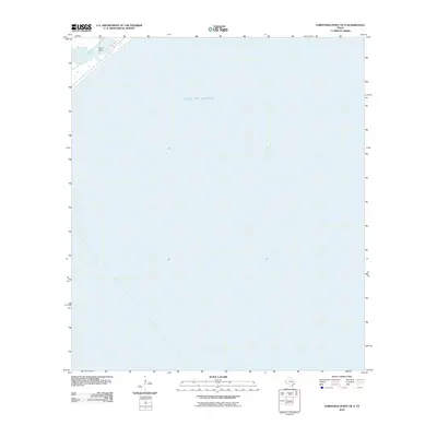
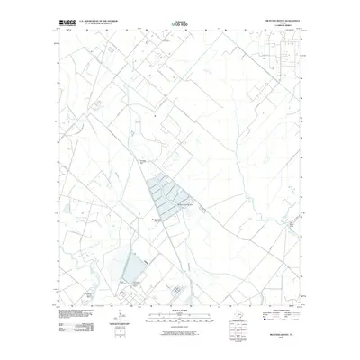
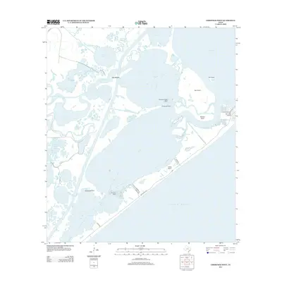
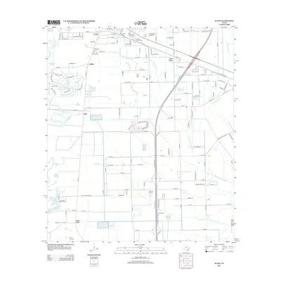
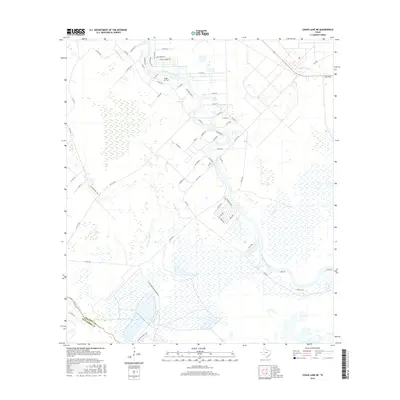
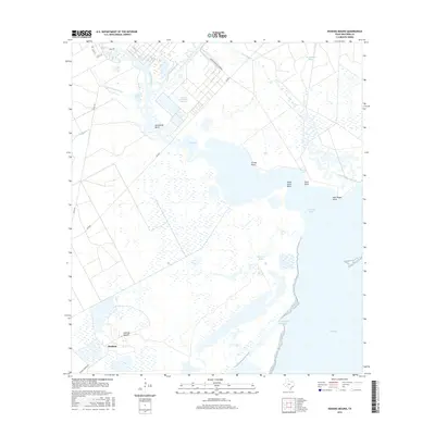
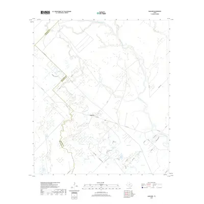
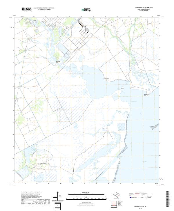
1963 Map of Hoskins Mound
USGS Topo · Published 1977About this map
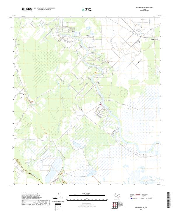
Industrial development and the intricate coastal hydrology of Brazoria County define this landscape along the Gulf Coast. Chocolate Bayou winds through the terrain, featuring dredging operations and the sharp curve of Horseshoe Bend before emptying into Chocolate Bay. The southern portion of the map is dominated by the Hoskins Mound area, where numerous Sulphur Wells and a Pumping Sta signal the region’s mid-century reliance on mineral extraction. The arrival of the Missouri Pacific railroad at the settlement of Hoskins further illustrates the intersection of transport and industry near the coast.
Find a feature on this map
30 named features on this map. Tap any name to fly to it.
Don’t see what you’re looking for? This feature index may not catch every label — zoom into the map to look around manually.
Map Details
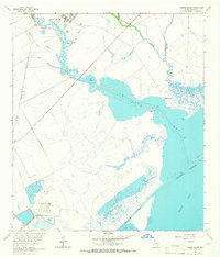
Editions of this 1963 Hoskins Mound Map
2 editions found
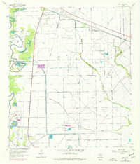
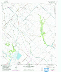
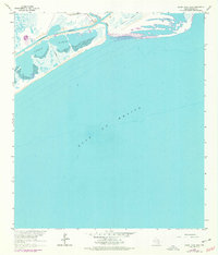
Historical Maps of Hoskins Through Time
65 maps found
1920 Mykawa
Brazoria County, TX
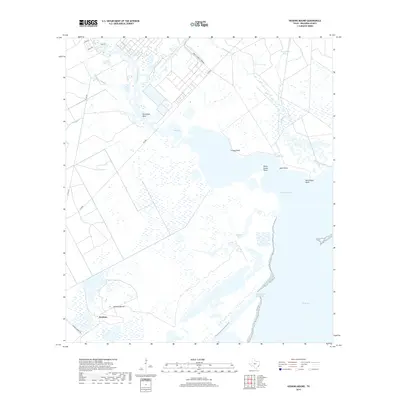
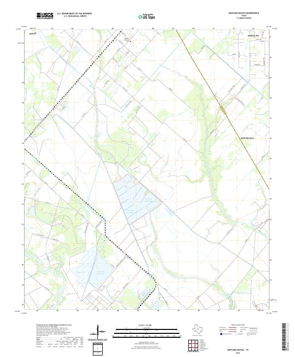
1932 Mustang Bayou
Brazoria County, TX

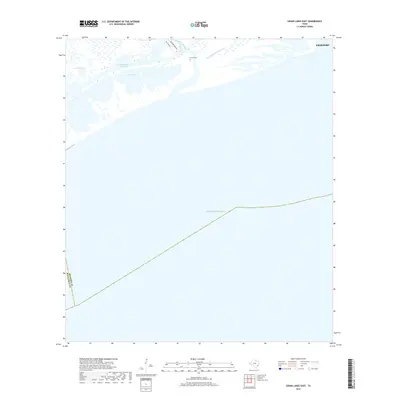
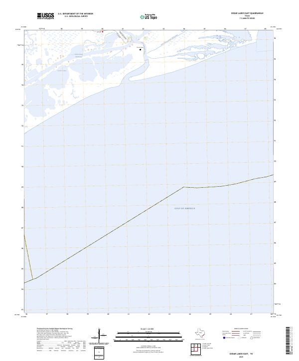
1943 Cedar Lakes East
Brazoria County, TX

1943 Chocolate Bay
Brazoria County, TX

1943 Chocolate Bayou
Brazoria County, TX

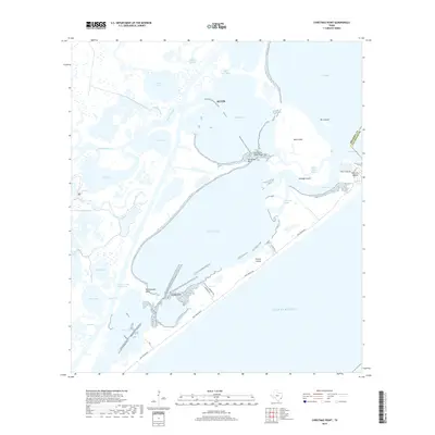
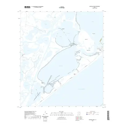
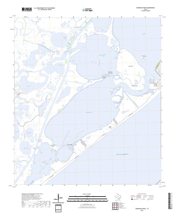
1943 Christmas Point
Brazoria County, TX
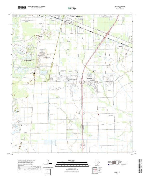
1943 Juliff
Brazoria County, TX
1943 Mustang Bayou
Brazoria County, TX
1943 Snipe
Brazoria County, TX
1952 Cedar Lane NE
Brazoria County, TX
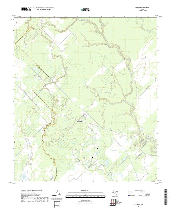
1952 Danciger
Brazoria County, TX

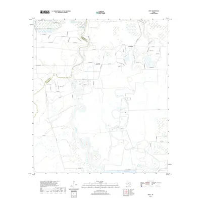
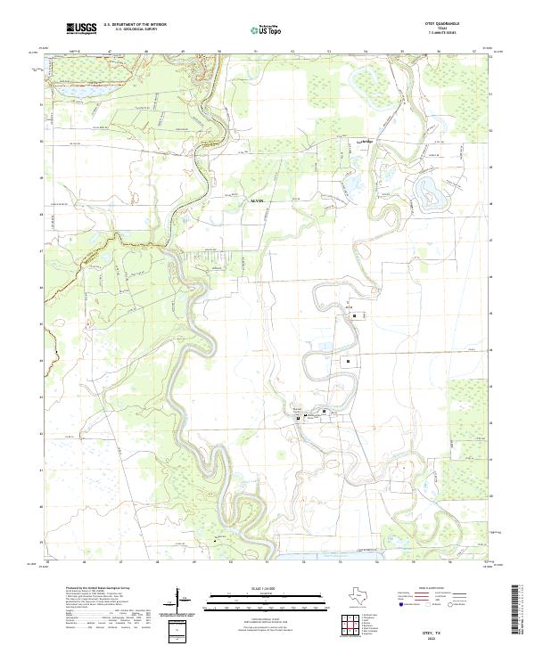
1953 Otey
Brazoria County, TX
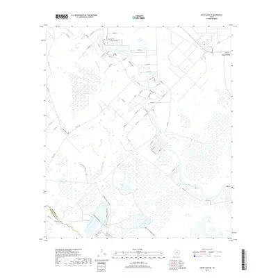
1963 Hoskins Mound
Brazoria County, TX
1963 Juliff
Brazoria County, TX
1963 Mustang Bayou
Brazoria County, TX
1964 Cedar Lakes East
Brazoria County, TX
1965 Christmas Point
Brazoria County, TX
2010 Cedar Lakes East
Brazoria County, TX
2010 Cedar Lane NE
Brazoria County, TX
2010 Christmas Point
Brazoria County, TX
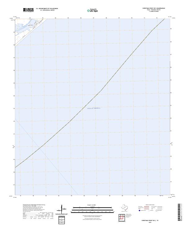
2010 Christmas Point OE S
Brazoria County, TX
2010 Danciger
Brazoria County, TX
2010 Hoskins Mound
Brazoria County, TX
2010 Juliff
Brazoria County, TX
2010 Mustang Bayou
Brazoria County, TX
2010 Otey
Brazoria County, TX
2013 Cedar Lakes East
Brazoria County, TX
2013 Cedar Lane NE
Brazoria County, TX
2013 Christmas Point
Brazoria County, TX
2013 Christmas Point OE S
Brazoria County, TX
2013 Danciger
Brazoria County, TX
2013 Hoskins Mound
Brazoria County, TX
2013 Juliff
Brazoria County, TX
2013 Mustang Bayou
Brazoria County, TX
2013 Otey
Brazoria County, TX
2016 Cedar Lakes East
Brazoria County, TX
2016 Cedar Lane NE
Brazoria County, TX
2016 Christmas Point
Brazoria County, TX
2016 Christmas Point OE S
Brazoria County, TX
2016 Danciger
Brazoria County, TX
2016 Hoskins Mound
Brazoria County, TX
2016 Juliff
Brazoria County, TX
2016 Mustang Bayou
Brazoria County, TX
2016 Otey
Brazoria County, TX
2019 Cedar Lakes East
Brazoria County, TX
2019 Cedar Lane NE
Brazoria County, TX
2019 Christmas Point
Brazoria County, TX
2019 Christmas Point OE S
Brazoria County, TX
2019 Danciger
Brazoria County, TX
2019 Hoskins Mound
Brazoria County, TX
2019 Juliff
Brazoria County, TX
2019 Mustang Bayou
Brazoria County, TX
2019 Otey
Brazoria County, TX

2022 Cedar Lakes East
Brazoria County, TX
2022 Cedar Lane NE
Brazoria County, TX
2022 Christmas Point
Brazoria County, TX
2022 Christmas Point OE S
Brazoria County, TX
2022 Danciger
Brazoria County, TX
2022 Hoskins Mound
Brazoria County, TX
2022 Juliff
Brazoria County, TX
2022 Mustang Bayou
Brazoria County, TX
2022 Otey
Brazoria County, TX
2025 Cedar Lakes East
Brazoria County, TX
2025 Christmas Point
Brazoria County, TX
2025 Christmas Point OE S
Brazoria County, TX