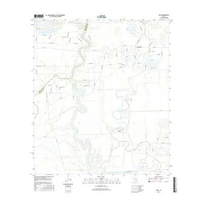
2016 Map of Otey
USGS Topo · Published 2016About this map
The Brazos River snakes through this portion of the Texas Gulf Coast, defining the boundary between Fort Bend and Brazoria counties. The landscape is characterized by a dense network of oxbow lakes, bayous, and managed water bodies, including River Lake, Bell Lake, and the expansive Harris Reservoir to the south. Small settlements like Otey and Lochridge serve as local anchors in an area where land use is defined by large-scale ranching and historic agricultural footprints, such as those found near Old Coffee Plantation Ln. The intricate meandering of Oyster Creek and Pecan Bayou across the floodplain illustrates the dynamic hydrology of the region. Local transit is supported by a web of rural roads and ranch access points, including Moyle Ranch and Moon Lake Ranch, which underscore the region's enduring connection to cattle and land management.
Find a feature on this map
73 named features on this map. Tap any name to fly to it.
Don’t see what you’re looking for? This feature index may not catch every label — zoom into the map to look around manually.
Map Details
Editions of this 2016 Otey Map
This is the sole edition of this map. No revisions or reprints were ever made.
Other maps of this area
1943 · Rosharon
USGS Topo · 1:31,680
1943 · Juliff
USGS Topo · 1:31,680
1943 · Angleton
USGS Topo · 1:24,000
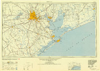
1950 · Houston
USGS Topo · 1:250,000
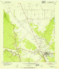
1952 · West Columbia
USGS Topo · 1:24,000
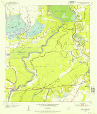
1952 · East Columbia
USGS Topo · 1:24,000
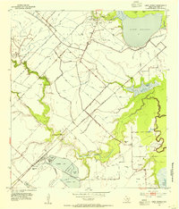
1953 · Lake George
USGS Topo · 1:24,000
1953 · Damon
USGS Topo · 1:24,000
1953 · Otey
USGS Topo · 1:24,000
1953 · Thompsons
USGS Topo · 1:24,000