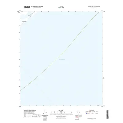
2022 Map of Christmas Point OE S
USGS Topo · Published 2022About this map
Freeport occupies the northwestern corner of this coastal survey, where the terrestrial edge meets the expansive waters of the Gulf of Mexico. The map documents a thin sliver of the Texas shoreline near Drum Point, a location defined more by the sea than the land. Transportation through this narrow coastal corridor is facilitated by several local roads, including the Blue Water Hwy, Gulf Dr, and Palm St. This 2022 edition provides a contemporary record of the shifting boundary between the Brazoria County coast and the open sea, capturing a moment where human infrastructure like Co Rd 257 clings to the very edge of the continent.
Find a feature on this map
8 named features on this map. Tap any name to fly to it.
Don’t see what you’re looking for? This feature index may not catch every label — zoom into the map to look around manually.
Map Details
Editions of this 2022 Christmas Point OE S Map
This is the sole edition of this map. No revisions or reprints were ever made.
Other maps of this area

1933 · San Luis Pass
USGS Topo · 1:31,680

1943 · San Luis Pass
USGS Topo · 1:31,680

1943 · Oyster Creek
USGS Topo · 1:31,680

1943 · Freeport
USGS Topo · 1:31,680

1943 · Christmas Point
USGS Topo · 1:24,000

1950 · Houston
USGS Topo · 1:250,000

1951 · Bay City
USGS Topo · 1:250,000

1956 · Houston
USGS Topo · 1:250,000

1956 · Bay City
USGS Topo · 1:250,000

1958 · Bay City
USGS Topo · 1:250,000