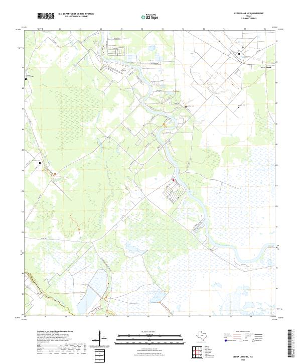
2022 Map of Cedar Lane NE
USGS Topo · Published 2022About this map
The San Bernard Wildlife Refuge dominates the southern reaches of this landscape, where the San Bernard River winds through expansive wetlands toward the Texas coast. This interface of tidal waters and prairie is marked by a legacy of family and community burial grounds, including Galilee Cem, McNeel Cem, Paradise Memorial Cem, and Jerusalem Cem, which offer significant touchpoints for genealogical research in the region.
Find a feature on this map
70 named features on this map. Tap any name to fly to it.
Don’t see what you’re looking for? This feature index may not catch every label — zoom into the map to look around manually.
Map Details
Editions of this 2022 Cedar Lane NE Map
This is the sole edition of this map. No revisions or reprints were ever made.
Other maps of this area

1943 · Jones Creek
USGS Topo · 1:31,680

1943 · Cedar Lakes East
USGS Topo · 1:24,000

1943 · Snipe
USGS Topo · 1:31,680

1950 · Houston
USGS Topo · 1:250,000

1951 · Bay City
USGS Topo · 1:250,000

1952 · Sweeny
USGS Topo · 1:24,000

1952 · Cedar Lane NE
USGS Topo · 1:24,000

1952 · Cedar Lakes West
USGS Topo · 1:24,000

1952 · Brazoria
USGS Topo · 1:24,000

1952 · Cedar Lane
USGS Topo · 1:24,000