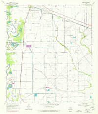
1963 Map of Juliff
USGS Topo · Published 1977About this map
Oyster Creek meanders along the western edge of this coastal prairie landscape, its course flanked by a dense concentration of oxbow lakes including Sugarhouse Lake, Lake Sienna, and Thompson Lake. The area reflects a transition from early agricultural foundations to industrial development, notably marked by the Arcola Oil Field and the sprawling Texas Department of Correction (Darrington Unit) near Sandy Point. The settlement pattern is defined by the intersection of the Missouri Pacific and Atchison Topeka and Santa Fe railroads, which facilitated the growth of small railroad communities like Arcola and Juliff. A complex network of irrigation canals, such as the Briscoe Canal and the South Texas Water Company Road, underscores the region's historical reliance on managed water for rice farming and other local industry during the mid-20th century.
Find a feature on this map
37 named features on this map. Tap any name to fly to it.
Don’t see what you’re looking for? This feature index may not catch every label — zoom into the map to look around manually.
Map Details
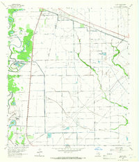
Editions of this 1963 Juliff Map
2 editions found
Other maps of this area

1920 · Mykawa
USGS Topo · 1:31,680

1920 · Almeda
USGS Topo · 1:31,680

1943 · Rosharon
USGS Topo · 1:31,680

1943 · Juliff
USGS Topo · 1:31,680

1943 · Chocolate Bayou
USGS Topo · 1:24,000

1950 · Houston
USGS Topo · 1:250,000

1953 · Otey
USGS Topo · 1:24,000

1953 · Thompsons
USGS Topo · 1:24,000
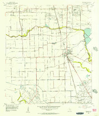
1955 · Pearland
USGS Topo · 1:24,000
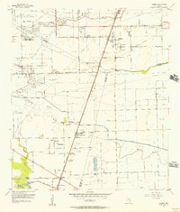
1955 · Almeda
USGS Topo · 1:24,000