
1954 Map of Houghton
USGS Topo · Published 1959About this map
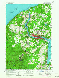
Hancock and Houghton anchor this mid-century survey of Michigan’s Copper Country, where the landscape is defined by the legacy of the Keweenaw mining boom. The industrial character of the region is visible through the concentration of company towns and extraction sites like Franklin Mine, Atlantic Mine, and Champion Mine. The Portage Lake Ship Canal bisects the peninsula, serving as a vital maritime artery connecting Lake Superior to the interior waters of Portage Lake.
Find a feature on this map
95 named features on this map. Tap any name to fly to it.
Don’t see what you’re looking for? This feature index may not catch every label — zoom into the map to look around manually.
Map Details
Editions of this 1954 Houghton Map
2 editions found
Other maps of this area

1915 · Houghton
USGS Topo · 1:62,500

1941 · Ahmeek
USGS Topo · 1:31,680

1946 · Hancock
USGS Topo · 1:24,000

1946 · Chassell
USGS Topo · 1:24,000

1946 · South Range
USGS Topo · 1:24,000

1946 · Muggun Creek
USGS Topo · 1:24,000

1946 · Ahmeek
USGS Topo · 1:24,000

1946 · Laurium
USGS Topo · 1:24,000

1947 · Ahmeek
USGS Topo · 1:24,000

1948 · South Range
USGS Topo · 1:24,000