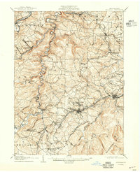
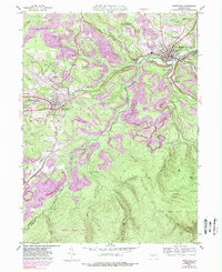
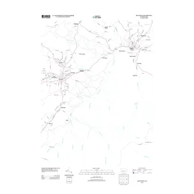
1905 Map of Houtzdale
USGS Topo · Published 1937About this map
Houtzdale and the surrounding bituminous coal country of Clearfield and Centre Counties appear here in a dense network of industrial development. The map reveals the intricate transport infrastructure of the early 1900s, where the Pennsylvania R. R. and Clearfield and Southern R. R. thread through the valleys to serve numerous mining and lumber settlements. Along the winding path of Clearfield Creek, established centers like Belsena Mills and Faunce stand in contrast to the high ridges of the Allegheny Mts.
Find a feature on this map
97 named features on this map. Tap any name to fly to it.
Don’t see what you’re looking for? This feature index may not catch every label — zoom into the map to look around manually.
Map Details
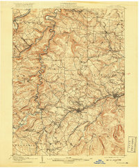
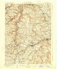
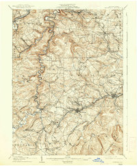
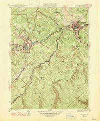
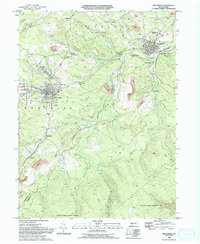
Editions of this 1905 Houtzdale Map
5 editions found

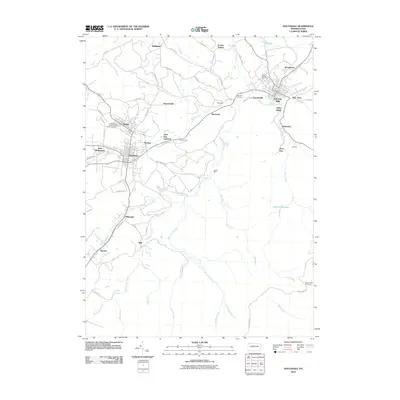
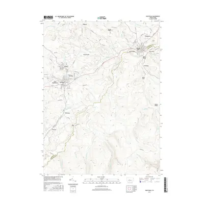
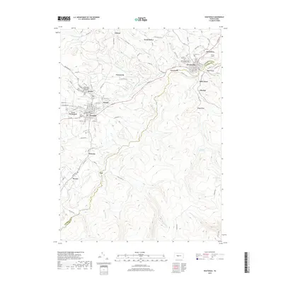
Historical Maps of Beccaria Township Through Time
10 maps found

1903 Houtzdale
Clearfield County, PA
1905 Houtzdale
Clearfield County, PA
1944 Houtzdale
Clearfield County, PA
1947 Houtzdale
Clearfield County, PA
1993 Houtzdale
Clearfield County, PA
2010 Houtzdale
Clearfield County, PA
2013 Houtzdale
Clearfield County, PA
2016 Houtzdale
Clearfield County, PA
2019 Houtzdale
Clearfield County, PA
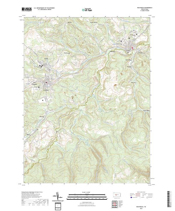
2023 Houtzdale
Clearfield County, PA