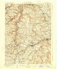
1905 Map of Houtzdale
USGS Topo · Published 1924About this map
Houtzdale serves as a central hub in this early twentieth-century survey of Clearfield County, Pennsylvania. The landscape is defined by the winding course of Clearfield Creek and the West Branch Susquehanna River, which dictate the placement of early settlements and industry. The area exhibits a dense concentration of mining-era towns and junctions, including Brisbin, Amesville, and Madera.
Find a feature on this map
104 named features on this map. Tap any name to fly to it.
Don’t see what you’re looking for? This feature index may not catch every label — zoom into the map to look around manually.
Map Details
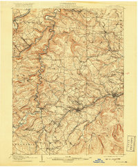
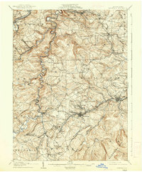
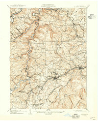
Editions of this 1905 Houtzdale Map
5 editions found
Other maps of this area

1902 · Patton
USGS Topo · 1:62,500

1903 · Curwensville
USGS Topo · 1:62,500

1903 · Houtzdale
USGS Topo · 1:62,500

1904 · Patton
USGS Topo · 1:62,500

1905 · Houtzdale
USGS Topo · 1:62,500

1920 · Altoona
USGS Topo · 1:62,500

1922 · Philipsburg
USGS Topo · 1:62,500

1922 · Altoona
USGS Topo · 1:62,500

1923 · Tyrone
USGS Topo · 1:62,500

1929 · Tyrone
USGS Topo · 1:48,000