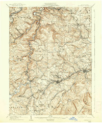
1905 Map of Houtzdale
USGS Topo · Published 1937About this map
Houtzdale and its neighboring coal communities anchor this 1905 landscape, which captures a dense industrial network at the foot of the Allegheny Mts. The terrain is deeply carved by the West Branch Susquehanna River and Clearfield Creek, creating a rugged backdrop for an extensive railroad system that includes the Pennsylvania R. R. and the Beech Creek R. R.. These lines served numerous small mining settlements and industrial outposts like Madera, Brisbin, and Osceola.
Find a feature on this map
107 named features on this map. Tap any name to fly to it.
Don’t see what you’re looking for? This feature index may not catch every label — zoom into the map to look around manually.
Map Details
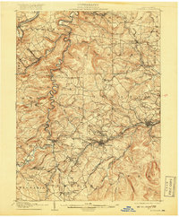
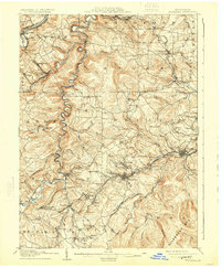
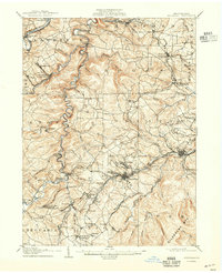
Editions of this 1905 Houtzdale Map
5 editions found
Other maps of this area

1902 · Patton
USGS Topo · 1:62,500

1903 · Curwensville
USGS Topo · 1:62,500

1903 · Houtzdale
USGS Topo · 1:62,500

1904 · Patton
USGS Topo · 1:62,500

1905 · Houtzdale
USGS Topo · 1:62,500

1920 · Altoona
USGS Topo · 1:62,500

1922 · Philipsburg
USGS Topo · 1:62,500

1922 · Altoona
USGS Topo · 1:62,500

1923 · Tyrone
USGS Topo · 1:62,500

1929 · Tyrone
USGS Topo · 1:48,000