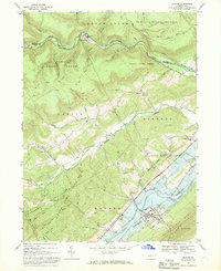
1967 Map of Howard
USGS Topo · Published 1969About this map
Beech Creek snakes through the northern reaches of this late 1960s landscape, marking the boundary between Sproul State Forest and the township of Curtin. The map reveals a region defined by its narrow valley floors and forested ridges, where small settlements like Orviston and Romola are connected by rural routes such as Romola Road. The southeastern corner is dominated by the rising waters of the Eagle Creek Reservoir, a massive infrastructure project by the U.S. Corps of Engineers that fundamentally altered the local drainage patterns near Howard.
Find a feature on this map
43 named features on this map. Tap any name to fly to it.
Don’t see what you’re looking for? This feature index may not catch every label — zoom into the map to look around manually.
Map Details
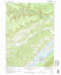
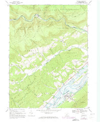
Editions of this 1967 Howard Map
Other maps of this area

1908 · Bellefonte
USGS Topo · 1:62,500

1909 · Bellefonte
USGS Topo · 1:62,500

1921 · Howard
USGS Topo · 1:48,000

1923 · Howard
USGS Topo · 1:62,500

1924 · Centre Hall
USGS Topo · 1:62,500

1928 · Snow Shoe
USGS Topo · 1:48,000

1929 · Centre Hall
USGS Topo · 1:62,500

1931 · Show Shoe
USGS Topo · 1:62,500

1943 · Lewistown
USGS Topo · 1:125,000

1950 · Harrisburg
USGS Topo · 1:250,000