
1921 Map of Howard
USGS Topo · Published 1921About this map
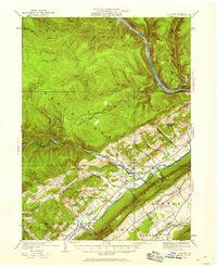
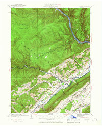
Bald Eagle Mountain and the Susquehanna River anchor this 1921 survey of the borderlands between Clinton and Centre counties. The landscape is defined by a dense network of valley settlements and upland schools that served the rural population before mid-century consolidation. The corridor along Bald Eagle Creek is particularly active, showing the path of the Pennsylvania Railroad as it connects towns like Howard and Eagleville.
Find a feature on this map
76 named features on this map. Tap any name to fly to it.
Don’t see what you’re looking for? This feature index may not catch every label — zoom into the map to look around manually.
Map Details
Editions of this 1921 Howard Map
Other maps of this area

1908 · Bellefonte
USGS Topo · 1:62,500

1909 · Bellefonte
USGS Topo · 1:62,500

1921 · Lock Haven
USGS Topo · 1:62,500

1923 · Howard
USGS Topo · 1:62,500

1923 · Lock Haven
USGS Topo · 1:62,500

1924 · Centre Hall
USGS Topo · 1:62,500

1928 · Snow Shoe
USGS Topo · 1:48,000

1929 · Centre Hall
USGS Topo · 1:62,500

1931 · Show Shoe
USGS Topo · 1:62,500

1937 · Waterville
USGS Topo · 1:48,000