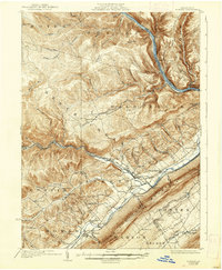
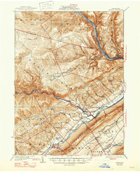
1923 Map of Howard
USGS Topo · Published 1938About this map
The West Branch Susquehanna River carves through this northern Pennsylvania landscape, providing a sharp industrial and topographic boundary between the northern plateaus and the organized valley floor. In the early twentieth century, the New York Central Pennsylvania Railroad tracked the river's path, serving communities like Beech Creek and Blanchard. The map reveals a dense network of local education and faith, with numerous country schools such as the Hubbard School and Frame School alongside the Laurel Run Church. The northern reaches of Grugan and Noyes are defined by intricate drainage systems like Eagleton Run and Tangascootack Creek, indicating a terrain heavily influenced by timber and natural resource extraction. This survey preserves the exact locations of many family-named landmarks and rural institutions that shaped the social fabric of Clinton and Centre Counties.
Find a feature on this map
86 named features on this map. Tap any name to fly to it.
Don’t see what you’re looking for? This feature index may not catch every label — zoom into the map to look around manually.
Map Details
Editions of this 1923 Howard Map
6 editions found
Other maps of this area

1908 · Bellefonte
USGS Topo · 1:62,500

1909 · Bellefonte
USGS Topo · 1:62,500

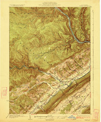
1921 · Howard
USGS Topo · 1:48,000

1921 · Lock Haven
USGS Topo · 1:62,500

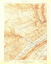
1923 · Howard
USGS Topo · 1:62,500

1923 · Lock Haven
USGS Topo · 1:62,500

1924 · Centre Hall
USGS Topo · 1:62,500

1928 · Snow Shoe
USGS Topo · 1:48,000

1929 · Centre Hall
USGS Topo · 1:62,500

1931 · Show Shoe
USGS Topo · 1:62,500