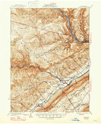
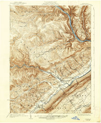
1923 Map of Howard
USGS Topo · Published 1947About this map
The West Branch Susquehanna River cuts through the northern reach of this landscape, defining a corridor of small settlements like Ferney and Hynerview. Further south, the terrain transitions into the parallel ridges of Bald Eagle Mountain, where the Pennsylvania railroad and the New York Central line navigate the lowlands around Beech Creek. This era of Central Pennsylvania history is marked by a high density of rural schoolhouses, including the Bitner School, Madden Run School, and Hubbard School, which served the scattered families living between the creek valleys and the high summits like Round Top.
Find a feature on this map
89 named features on this map. Tap any name to fly to it.
Don’t see what you’re looking for? This feature index may not catch every label — zoom into the map to look around manually.
Map Details
Editions of this 1923 Howard Map
6 editions found
Other maps of this area

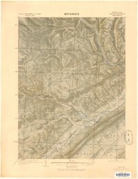
1908 · Bellefonte
USGS Topo · 1:62,500

1909 · Bellefonte
USGS Topo · 1:62,500

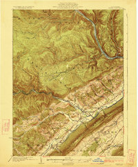
1921 · Howard
USGS Topo · 1:48,000

1921 · Lock Haven
USGS Topo · 1:62,500

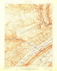
1923 · Howard
USGS Topo · 1:62,500

1923 · Lock Haven
USGS Topo · 1:62,500

1924 · Centre Hall
USGS Topo · 1:62,500

1928 · Snow Shoe
USGS Topo · 1:48,000

1929 · Centre Hall
USGS Topo · 1:62,500

1931 · Show Shoe
USGS Topo · 1:62,500