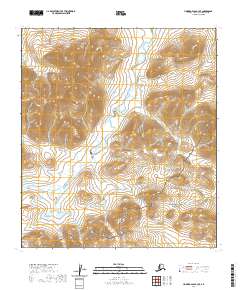
2020 Map of Howard Pass B-3 SE
USGS Topo · Published 2020About this map
National Petroleum Reserve - Alaska covers the northern reaches of this remote Arctic landscape, transitioning into the Noatak National Preserve at its southern boundary. This 2020 survey documents a wilderness defined by its complex drainage patterns and elevation changes, notably the Howard Hills which rise in the eastern portion of the quadrangle. The hydrology of the Brooks Range foothills is captured in detail, centered on the Ipnavik River as it meanders through the central and southern terrain, while the smaller Friendly Cr flows in the northeast corner. This map represents a significant intersection of federal land management and resource protection in the North Slope Borough, where industrial interests in the petroleum reserve meet the conservation efforts of the National Park Service.
Find a feature on this map
11 named features on this map. Tap any name to fly to it.
Don’t see what you’re looking for? This feature index may not catch every label — zoom into the map to look around manually.
Map Details
Editions of this 2020 Howard Pass B-3 SE Map
This is the sole edition of this map. No revisions or reprints were ever made.
Other maps of this area

1951 · Howard Pass
USGS Topo · 1:250,000

1956 · Howard Pass
USGS Topo · 1:250,000
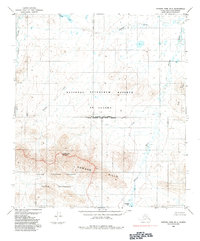
1984 · Howard Pass B-2
USGS Topo · 1:63,360
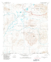
1984 · Howard Pass A-2
USGS Topo · 1:63,360

1984 · Howard Pass A-3
USGS Topo · 1:63,360

1984 · Howard Pass B-3
USGS Topo · 1:63,360
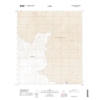
2017 · Howard Pass B-3 SW
USGS Topo · 1:25,000
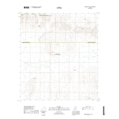
2017 · Howard Pass A-3 NE
USGS Topo · 1:25,000
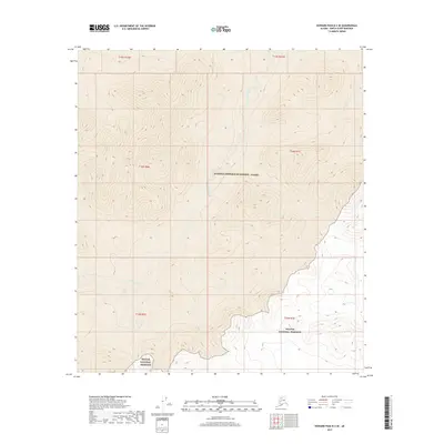
2017 · Howard Pass B-3 SE
USGS Topo · 1:25,000
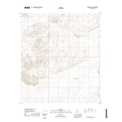
2017 · Howard Pass B-3 NE
USGS Topo · 1:25,000