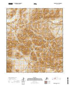
2020 Map of Howard Pass C-3 SE
USGS Topo · Published 2020About this map
Rim Butte dominates the central portion of this remote section of the North Slope, standing as a prominent topographic landmark in the Arctic wilderness. The terrain is defined by the high-elevation drainages of Cula Cr in the north and Crassico Cr to the east, illustrating the complex hydrology of the Brooks Range foothills. This 2020 survey by the U.S. Geological Survey details the township and range lines across the Colville River watershed, capturing a landscape devoid of permanent structures or roads. The map provides an essential baseline for geologists and researchers tracking the subtle shifts in Arctic permafrost and drainage patterns in one of the most secluded regions of Alaska.
Find a feature on this map
9 named features on this map. Tap any name to fly to it.
Don’t see what you’re looking for? This feature index may not catch every label — zoom into the map to look around manually.
Map Details
Editions of this 2020 Howard Pass C-3 SE Map
This is the sole edition of this map. No revisions or reprints were ever made.
Other maps of this area

1951 · Howard Pass
USGS Topo · 1:250,000

1956 · Howard Pass
USGS Topo · 1:250,000
1984 · Howard Pass C-2
USGS Topo · 1:63,360
1984 · Howard Pass B-2
USGS Topo · 1:63,360

1984 · Howard Pass B-3
USGS Topo · 1:63,360

1984 · Howard Pass C-3
USGS Topo · 1:63,360
2017 · Howard Pass C-3 NE
USGS Topo · 1:25,000
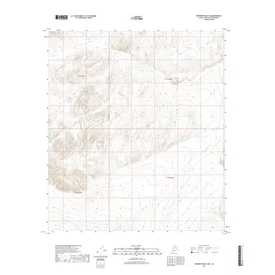
2017 · Howard Pass B-3 NE
USGS Topo · 1:25,000
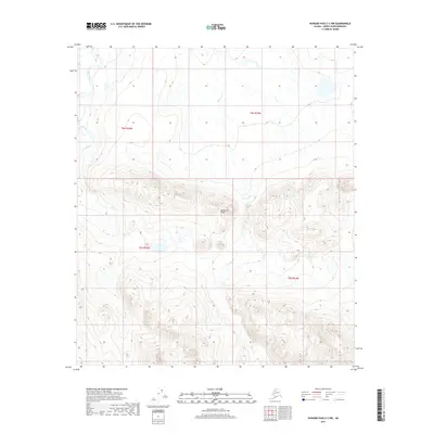
2017 · Howard Pass C-3 NW
USGS Topo · 1:25,000
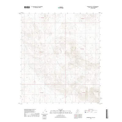
2017 · Howard Pass C-3 SW
USGS Topo · 1:25,000