
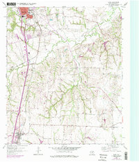
1958 Map of Howe
USGS Topo · Published 1959About this map
The southern outskirts of Sherman meet the rural landscape of Grayson County in this late 1950s survey. The topography is dominated by the winding drainage of Choctaw Creek, which carves deep, wooded ravines across the central portion of the map. This area shows a transition from the urban grid of the county seat—highlighted by landmarks like George Washington Carver Sch and Chapman Park—to the agricultural lands of Luella and the outlying communities.
Find a feature on this map
16 named features on this map. Tap any name to fly to it.
Don’t see what you’re looking for? This feature index may not catch every label — zoom into the map to look around manually.
Map Details
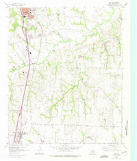
Editions of this 1958 Howe Map
Other maps of this area

1901 · Denison
USGS Topo · 1:125,000

1954 · Sherman
USGS Topo · 1:250,000

1958 · Dorchester
USGS Topo · 1:24,000

1958 · Whitesright
USGS Topo · 1:62,500

1958 · Sherman NW
USGS Topo · 1:24,000

1958 · Sherman
USGS Topo · 1:250,000

1958 · Sherman
USGS Topo · 1:62,500

1958 · Sherman
USGS Topo · 1:24,000

1961 · Gunter
USGS Topo · 1:24,000

1961 · Van Alstyne
USGS Topo · 1:24,000