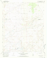
1967 Map of Howell Ranch
USGS Topo · Published 1980About this map
Howell Ranch and Gammill Ranch sit at the center of this high plains cattle country during the late 1960s. The landscape is defined by the vital search for water, evidenced by a dense network of named family and ranching infrastructure including Grimes Windmill, Ashbacker Windmill, and Wilson Well. The terrain is marked by seasonal drainage systems like White Draw and Sand Draw, which cut through the open range.
Find a feature on this map
22 named features on this map. Tap any name to fly to it.
Don’t see what you’re looking for? This feature index may not catch every label — zoom into the map to look around manually.
Map Details
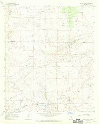
Editions of this 1967 Howell Ranch Map
2 editions found
Other maps of this area

1954 · Fort Sumner
USGS Topo · 1:250,000

1954 · Clovis
USGS Topo · 1:250,000

1954 · Brownfield
USGS Topo · 1:250,000

1955 · Roswell
USGS Topo · 1:250,000

1958 · Brownfield
USGS Topo · 1:250,000

1958 · Fort Sumner
USGS Topo · 1:250,000

1958 · Clovis
USGS Topo · 1:250,000

1958 · Roswell
USGS Topo · 1:250,000

1962 · Roswell
USGS Topo · 1:250,000

1962 · Brownfield
USGS Topo · 1:250,000