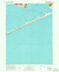
1967 Map of Howells Point
USGS Topo · Published 1968About this map
Fire Island National Seashore dominates this coastal survey, preserving a critical stretch of the barrier island system protecting the mainland of Long Island. The narrow ribbon of Great South Beach and Fire Island is characterized by shifting sands and intricate shorelines, including Whalehouse Point, Molasses Point, and Goose Pt. Small seasonal settlements like Davis Park and Bayberry Dunes are perched on the dunes, accessible largely by boat or the winding Jeep Trail that traverses the island's length.
Find a feature on this map
27 named features on this map. Tap any name to fly to it.
Don’t see what you’re looking for? This feature index may not catch every label — zoom into the map to look around manually.
Map Details
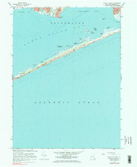
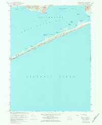
Editions of this 1967 Howells Point Map
3 editions found
Other maps of this area

1902 · Setauket
USGS Topo · 1:62,500

1902 · Fire Island
USGS Topo · 1:62,500

1903 · Fire Island
USGS Topo · 1:62,500

1904 · Setauket
USGS Topo · 1:62,500

1904 · Islip
USGS Topo · 1:125,000

1904 · Moriches
USGS Topo · 1:62,500

1919 · Setauket
USGS Topo · 1:62,500

1942 · Islip
USGS Topo · 1:125,000

1947 · Bellport
USGS Topo · 1:24,000

1947 · Howells Point
USGS Topo · 1:24,000