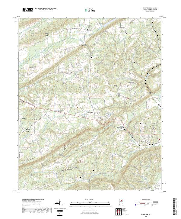
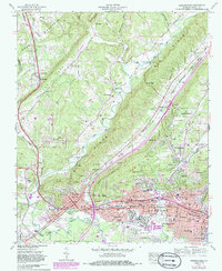
2024 Map of Howelton
USGS Topo · Published 2024This historical map portrays the area of Howelton in 2024, primarily covering Etowah County. Featuring a scale of 1:24000, this map provides a highly detailed snapshot of the terrain, roads, buildings, counties, and historical landmarks in the Howelton region at the time. Published in 2024, it is the sole known edition of this map.
Map Details
Editions of this 2024 Howelton Map
This is the sole edition of this map. No revisions or reprints were ever made.
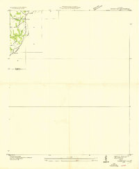
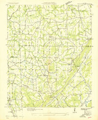
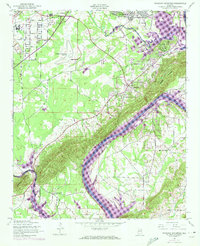
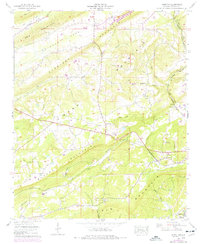
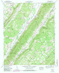
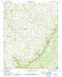
Historical Maps of Etowah County Through Time
15 maps found
1936 Roden Gap
Etowah County, AL
1936 Rodentown
Etowah County, AL
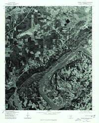
1947 Dunaway Mountain
Etowah County, AL
1959 Gadsden West
Etowah County, AL
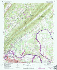
1959 Howelton
Etowah County, AL
1959 Keener
Etowah County, AL
1959 Rodentown
Etowah County, AL
1967 Gadsden East
Etowah County, AL
1975 Dunaway Mountain
Etowah County, AL
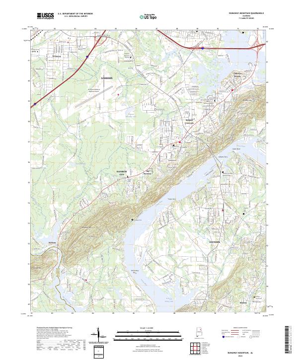
2024 Dunaway Mountain
Etowah County, AL
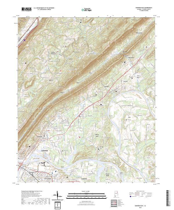
2024 Gadsden East
Etowah County, AL
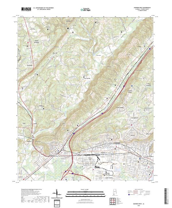
2024 Gadsden West
Etowah County, AL
2024 Howelton
Etowah County, AL
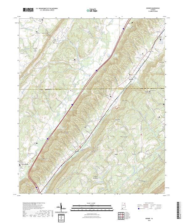
2024 Keener
Etowah County, AL
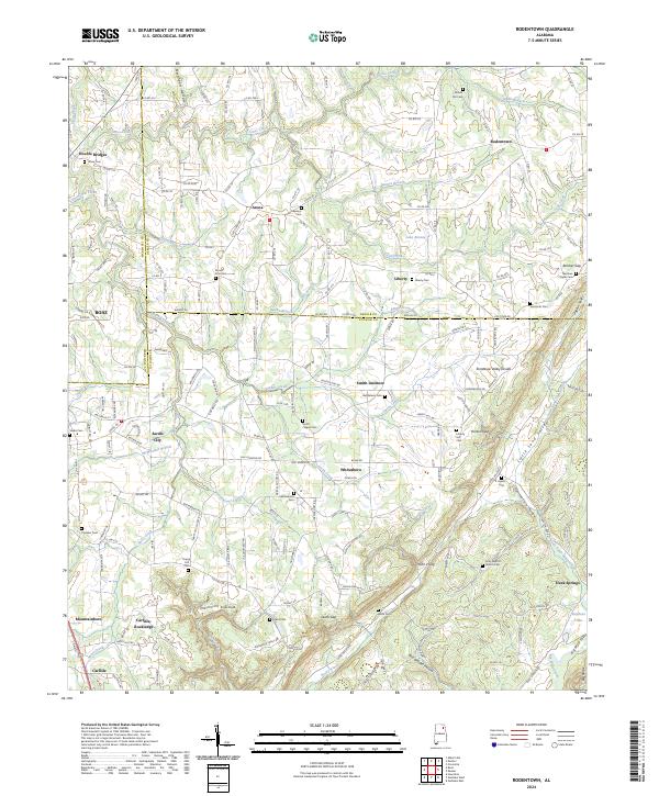
2024 Rodentown
Etowah County, AL