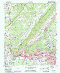
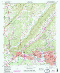
1959 Map of Gadsden West
USGS Topo · Published 1985About this map
Big Wills Creek carves a path through the valley between Sand Mountain and Lookout Mountain on this mid-century topographic record of northern Alabama. The map documents the intensive rail network of the era, where the Louisville & Nashville RR, Alabama Great Southern RR, and Seaboard Air Line RR converge near the industrial centers of Alabama City and Attalla. These transport corridors helped define the growth of neighborhoods like Walnut Park and The Highlands, while the Coosa River anchors the southeastern edge of the survey.
Find a feature on this map
81 named features on this map. Tap any name to fly to it.
Don’t see what you’re looking for? This feature index may not catch every label — zoom into the map to look around manually.
Map Details
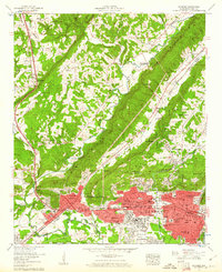
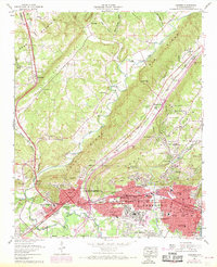
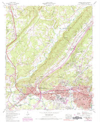
Editions of this 1959 Gadsden West Map
5 editions found
Other maps of this area

1885 · Gadsden
USGS Topo · 1:125,000

1888 · Gadsden
USGS Topo · 1:125,000

1889 · Springville
USGS Topo · 1:125,000

1892 · Springville
USGS Topo · 1:125,000

1892 · Gadsden
USGS Topo · 1:125,000

1893 · Fort Payne
USGS Topo · 1:125,000

1895 · Gadsden
USGS Topo · 1:125,000

1898 · Fort Payne
USGS Topo · 1:125,000

1900 · Fort Payne
USGS Topo · 1:125,000

1900 · Anniston
USGS Topo · 1:125,000