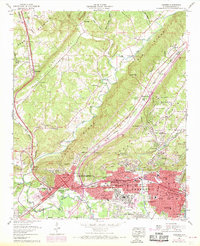
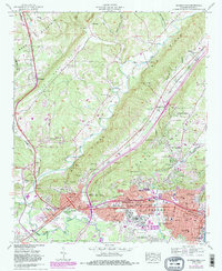
1959 Map of Gadsden
USGS Topo · Published 1970About this map
Noccalula Falls highlights the dramatic descent of Black Creek from the heights of Lookout Mountain into the valley below, a landmark that anchors this mid-century view of the developing Coosa River corridor. The post-war expansion of Gadsden and Attalla is evident in the dense residential growth of Alabama City and the emerging suburbs of Tuckahoe Heights and The Highlands. Transport networks are central to the area's identity, with the Southern Railway and Louisville and Nashville lines threading through the ridges, serving industrial sites like the coke ovens and neighborhood schools including Emma Sansom High School. Beyond the urban core, the landscape transitions into the steep terrain of Sand Mountain and the agricultural reaches of Big Wills Valley, where smaller communities like Reece City and Maryville line the Florida Short Route.
Find a feature on this map
95 named features on this map. Tap any name to fly to it.
Don’t see what you’re looking for? This feature index may not catch every label — zoom into the map to look around manually.
Map Details
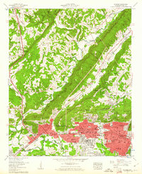
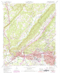
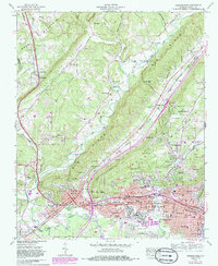
Editions of this 1959 Gadsden Map
5 editions found
Other maps of this area

1885 · Gadsden
USGS Topo · 1:125,000

1888 · Gadsden
USGS Topo · 1:125,000

1889 · Springville
USGS Topo · 1:125,000

1892 · Springville
USGS Topo · 1:125,000

1892 · Gadsden
USGS Topo · 1:125,000

1893 · Fort Payne
USGS Topo · 1:125,000

1895 · Gadsden
USGS Topo · 1:125,000

1898 · Fort Payne
USGS Topo · 1:125,000

1900 · Fort Payne
USGS Topo · 1:125,000

1900 · Anniston
USGS Topo · 1:125,000