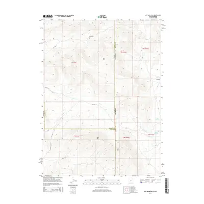
2014 Map of Hoy Mountain
USGS Topo · Published 2014About this map
Hoy Mtn and Wild Mtn dominate this high-altitude landscape where the borders of Utah and Colorado meet. This 2014 survey captures a remote region defined by vital water management and livestock infrastructure, featuring scattered catchments like Offield Reservoir, Miles Reservoir, and Tittle Reservoir. The terrain is deeply incised by drainages such as Allen Draw, Craig Draw, and Hatch Cv, reflecting the complex topography of the eastern Uinta Mountains and the Diamond Mountain plateau.
Find a feature on this map
27 named features on this map. Tap any name to fly to it.
Don’t see what you’re looking for? This feature index may not catch every label — zoom into the map to look around manually.
Map Details
Editions of this 2014 Hoy Mountain Map
This is the sole edition of this map. No revisions or reprints were ever made.
Other maps of this area

1885 · Ashley
USGS Topo · 1:250,000

1952 · Warren Draw
USGS Topo · 1:24,000

1952 · Swallow Canyon
USGS Topo · 1:24,000

1954 · Lodore School
USGS Topo · 1:24,000

1954 · Canyon of Lodore South
USGS Topo · 1:24,000

1954 · Canyon of Lodore North
USGS Topo · 1:24,000

1954 · Vernal
USGS Topo · 1:250,000

1955 · Island Park
USGS Topo · 1:24,000

1955 · Jones Hole
USGS Topo · 1:24,000

1958 · Vernal
USGS Topo · 1:250,000