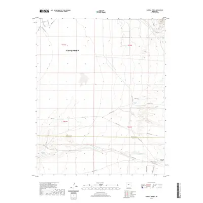
2020 Map of Hubbell Spring
USGS Topo · Published 2020About this map
Albuquerque is represented here at its southeastern fringes, where the developing street grid of the city meets the open terrain of the high desert. The map captures a transition from the urban infrastructure of University Blvd SE and Bobby Foster Rd to a vast network of tribal roads and service routes that crisscross the landscape. This area is defined by its drainage patterns and historical water sources, which were vital for life in this arid environment. Significant natural features include the Hells Canyon Wash, which winds across the southern half of the sheet, and the seasonal flow of the Arroyo del Coyote to the north. Local history is tied to named water points like Hubbell Spring, Clear Water Spring, and the aptly named Ojo de la Cabra, which likely served as landmarks for generations of travelers and residents.
Find a feature on this map
31 named features on this map. Tap any name to fly to it.
Don’t see what you’re looking for? This feature index may not catch every label — zoom into the map to look around manually.
Map Details
Editions of this 2020 Hubbell Spring Map
This is the sole edition of this map. No revisions or reprints were ever made.
Other maps of this area

1888 · Bernalillo
USGS Topo · 1:125,000

1889 · Albuquerque
USGS Topo · 1:125,000

1892 · San Pedro
USGS Topo · 1:125,000

1893 · Albuquerque
USGS Topo · 1:125,000

1917 · Estancia
USGS Topo · 1:125,000

1934 · West Albuquerque
USGS Topo · 1:24,000

1934 · East Albuquerque
USGS Topo · 1:24,000

1938 · Albuquerque
USGS Topo · 1:62,500

1952 · Hubbell Spring
USGS Topo · 1:24,000

1952 · Los Lunas SE
USGS Topo · 1:24,000