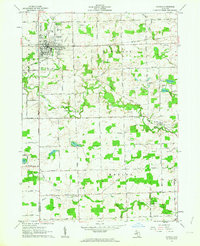
1962 Map of Hudson
USGS Topo · Published 1963About this map
The Hudson city center serves as the primary hub of this 1960s Lenawee County landscape, situated at the junction of the New York Central railroad and a network of rural roads. The city is dense with civic features including a High Sch, an Athletic Field, and large burial grounds like Maple Grove Cemetery and Calvary Cem. Moving south into Medina township, the terrain is defined by the winding course of Bean Creek and its many tributaries, including Garrison Drain and Childs Drain. This area reveals a diversified mid-century economy where agriculture met early resource extraction, evidenced by scattered Gravel Pit operations and an Oil Well near the unincorporated settlement of Medina. The map preserves the names of small communities like Prattville and Ridgeville, alongside numerous family-named cemeteries such as Brown Cem and Whitney Cem.
Find a feature on this map
54 named features on this map. Tap any name to fly to it.
Don’t see what you’re looking for? This feature index may not catch every label — zoom into the map to look around manually.
Map Details
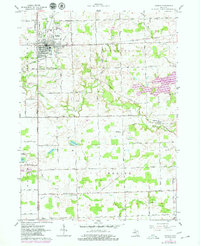
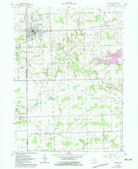
Editions of this 1962 Hudson Map
3 editions found
Other maps of this area

1911 · Wauseon
USGS Topo · 1:62,500

1913 · Wauseon
USGS Topo · 1:62,500

1913 · Alvordton
USGS Topo · 1:62,500

1943 · Wauseon
USGS Topo · 1:62,500

1944 · Alvordton
USGS Topo · 1:62,500

1953 · Fort Wayne
USGS Topo · 1:250,000

1956 · Fort Wayne
USGS Topo · 1:250,000

1960 · Morenci
USGS Topo · 1:24,000

1960 · Fayette
USGS Topo · 1:24,000
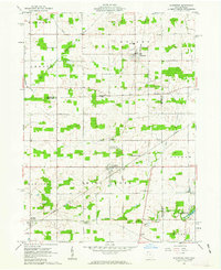
1961 · Alvordton
USGS Topo · 1:24,000