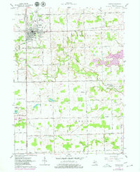
1962 Map of Hudson
USGS Topo · Published 1979About this map
Hudson serves as the primary hub of this agricultural landscape along the border of Hillsdale and Lenawee Counties. The town's industrial and transportation history is defined by the New York Central Railroad, with segments already marked as abandoned by the late 1950s, and the Wabash Railroad crossing to the south. Significant water management is evident throughout the townships, including Lake Hudson and a network of named waterways like Bean Creek and Childs Drain.
Find a feature on this map
58 named features on this map. Tap any name to fly to it.
Don’t see what you’re looking for? This feature index may not catch every label — zoom into the map to look around manually.
Map Details
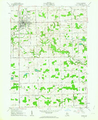
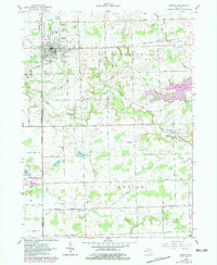
Editions of this 1962 Hudson Map
3 editions found
Other maps of this area

1911 · Wauseon
USGS Topo · 1:62,500

1913 · Wauseon
USGS Topo · 1:62,500

1913 · Alvordton
USGS Topo · 1:62,500

1943 · Wauseon
USGS Topo · 1:62,500

1944 · Alvordton
USGS Topo · 1:62,500

1953 · Fort Wayne
USGS Topo · 1:250,000

1956 · Fort Wayne
USGS Topo · 1:250,000

1960 · Morenci
USGS Topo · 1:24,000

1960 · Fayette
USGS Topo · 1:24,000
1961 · Alvordton
USGS Topo · 1:24,000