
1981 Map of Huff Hill
USGS Topo · Published 1981About this map
Huff Hill stands as a prominent landmark in this high-desert portion of Lincoln County, where the landscape is defined by an intricate network of drainage systems. The terrain is deeply incised by the Hasperos Canyon in the north and the wide Arroyo del Macho meandering through the center, illustrating the importance of seasonal water flow in this arid environment. Surveyed in the mid-1970s and published in 1981, the map reveals a remote ranching infrastructure dependent on localized water sources. Named catchments and wells such as Huff Tank, Myrtles Tank, and South Well are scattered across the quadrangle, alongside more isolated features like the Double Windmills and Arabella West Base. These man-made improvements suggest a long history of land management for livestock, where every Hogadero Draw and Hackberry Draw provided a critical pathway for water during the rare Southwestern rains.
Find a feature on this map
24 named features on this map. Tap any name to fly to it.
Don’t see what you’re looking for? This feature index may not catch every label — zoom into the map to look around manually.
Map Details
Editions of this 1981 Huff Hill Map
This is the sole edition of this map. No revisions or reprints were ever made.
Other maps of this area

1935 · Capitan Mountains
USGS Topo · 1:48,000

1936 · Arabela
USGS Topo · 1:48,000

1940 · Capitan Mountains
USGS Topo · 1:62,500

1942 · Arabela
USGS Topo · 1:62,500

1955 · Roswell
USGS Topo · 1:250,000

1958 · Roswell
USGS Topo · 1:250,000

1962 · Roswell
USGS Topo · 1:250,000
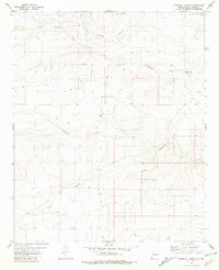
1981 · Pedernal Arroyo
USGS Topo · 1:24,000
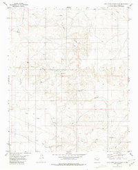
1981 · Juan Largo Canyon East
USGS Topo · 1:24,000
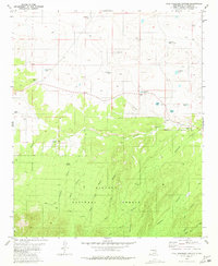
1981 · Kyle Harrison Canyon
USGS Topo · 1:24,000