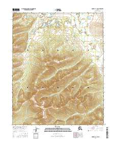
2016 Map of Hughes A-1 SE
USGS Topo · Published 2016About this map
The Sushgitit Hills rise above a landscape defined by meandering interior drainage in this remote Alaskan wilderness. Waterways like Githgidunka Cr and Hoyadazzithethno Cr wind through the township boundaries of T8N R27E and T7N R28E, illustrating the complex hydrography of the Yukon-Koyukuk region. In the southwestern corner, Calamity Cr flows through the elevated terrain, where close contour intervals mark the transition from lowland basins to upland ridges. This 2016 survey reflects the modern geographic record of an area without permanent human settlements, focusing instead on the precise topographical features and public land survey system lines that organize this undeveloped expanse of the Alaskan interior.
Find a feature on this map
8 named features on this map. Tap any name to fly to it.
Don’t see what you’re looking for? This feature index may not catch every label — zoom into the map to look around manually.
Map Details
Editions of this 2016 Hughes A-1 SE Map
This is the sole edition of this map. No revisions or reprints were ever made.
Other maps of this area

1951 · Hughes
USGS Topo · 1:250,000

1951 · Melozitna
USGS Topo · 1:250,000

1951 · Bettles
USGS Topo · 1:250,000

1951 · Tanana
USGS Topo · 1:250,000

1952 · Melozitna D-1
USGS Topo · 1:63,360

1955 · Hughes A-1
USGS Topo · 1:63,360

1956 · Hughes
USGS Topo · 1:250,000

1956 · Bettles
USGS Topo · 1:250,000

1956 · Tanana D-6
USGS Topo · 1:63,360

1956 · Melozitna
USGS Topo · 1:250,000