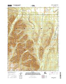
2016 Map of Hughes C-3 NW
USGS Topo · Published 2016About this map
The Continental Divide winds through this high-latitude terrain, marking a significant hydrologic boundary within the Gates of the Arctic National Preserve. This 2016 survey captures the intersection of the Northwest Arctic Borough and the Yukon-Koyukuk Census Area, a region defined by its isolation and the steep rise of the Norutak Hills. The map provides a detailed view of the Public Land Survey System grid across townships such as t15n r20e and t16n r21e, illustrating how this vast northern landscape is administratively organized despite the absence of permanent human settlements or roads. Researchers can trace the fine elevation contours of the hills and the scattered wetlands that dominate the lower elevations, offering a clear record of the subarctic environment in the early 21st century.
Find a feature on this map
10 named features on this map. Tap any name to fly to it.
Don’t see what you’re looking for? This feature index may not catch every label — zoom into the map to look around manually.
Map Details
Editions of this 2016 Hughes C-3 NW Map
This is the sole edition of this map. No revisions or reprints were ever made.
Other maps of this area

1951 · Hughes
USGS Topo · 1:250,000

1956 · Hughes
USGS Topo · 1:250,000

1964 · Hughes
USGS Topo · 1:250,000

1965 · Hughes
USGS Topo · 1:250,000
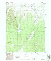
1986 · Hughes C-3
USGS Topo · 1:63,360
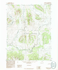
1986 · Hughes D-4
USGS Topo · 1:63,360
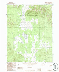
1986 · Hughes C-4
USGS Topo · 1:63,360
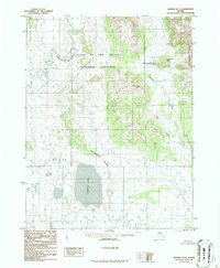
1986 · Hughes D-3
USGS Topo · 1:63,360
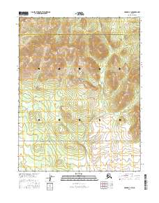
2016 · Hughes C-4 NE
USGS Topo · 1:25,000
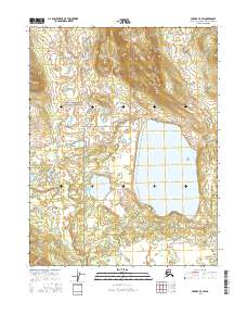
2016 · Hughes D-3 SW
USGS Topo · 1:25,000