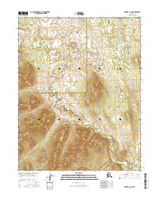
2016 Map of Hughes C-4 SW
USGS Topo · Published 2016About this map
The boundary between the Northwest Arctic Borough Yukon-Koyukuk Census Area and the surrounding interior divides this remote Alaskan wilderness. Surveyed in the 2010s, the map reveals a landscape defined by significant elevation changes, with contours rising sharply through the townships of t13n r18e, t13n r19e, t14n r18e, and t14n r19e. The terrain is characterized by numerous small water bodies and drainage patterns that reflect the complex hydrology of the region. This document captures the intersection of administrative census boundaries with the physical landforms of the Brooks Range foothills, providing a detailed look at the geographic structure of this unorganized part of the state.
Find a feature on this map
6 named features on this map. Tap any name to fly to it.
Don’t see what you’re looking for? This feature index may not catch every label — zoom into the map to look around manually.
Map Details
Editions of this 2016 Hughes C-4 SW Map
This is the sole edition of this map. No revisions or reprints were ever made.
Other maps of this area

1951 · Hughes
USGS Topo · 1:250,000

1956 · Hughes
USGS Topo · 1:250,000

1964 · Hughes
USGS Topo · 1:250,000

1965 · Hughes
USGS Topo · 1:250,000
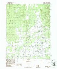
1986 · Hughes B-4
USGS Topo · 1:63,360
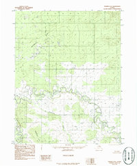
1986 · Hughes B-5
USGS Topo · 1:63,360
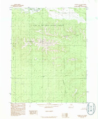
1986 · Hughes C-5
USGS Topo · 1:63,360
1986 · Hughes C-4
USGS Topo · 1:63,360
2016 · Hughes B-5 NE
USGS Topo · 1:25,000
2016 · Hughes C-5 NE
USGS Topo · 1:25,000