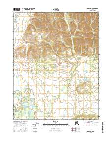
2016 Map of Hughes D-1 SW
USGS Topo · Published 2016About this map
The Alatna River meanders through this interior Alaska landscape, providing a primary hydrological artery through the southwestern reaches of the Hughes D-1 quadrangle. This 2016 survey illustrates the complex topography surrounding the river valley, where the terrain rises from the floodplain into the higher elevations of the surrounding mountains. The drainage patterns are further defined by the Chebanika Cr, which cuts through the northern and central sections of the map area.
Find a feature on this map
7 named features on this map. Tap any name to fly to it.
Don’t see what you’re looking for? This feature index may not catch every label — zoom into the map to look around manually.
Map Details
Editions of this 2016 Hughes D-1 SW Map
This is the sole edition of this map. No revisions or reprints were ever made.
Other maps of this area

1951 · Hughes
USGS Topo · 1:250,000

1956 · Hughes
USGS Topo · 1:250,000

1964 · Hughes
USGS Topo · 1:250,000

1965 · Hughes
USGS Topo · 1:250,000
1986 · Hughes D-1
USGS Topo · 1:63,360
1986 · Hughes D-2
USGS Topo · 1:63,360
1986 · Hughes C-1
USGS Topo · 1:63,360
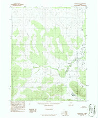
1986 · Hughes C-2
USGS Topo · 1:63,360
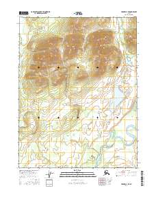
2016 · Hughes D-2 NE
USGS Topo · 1:25,000
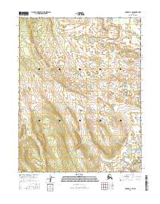
2016 · Hughes C-2 NE
USGS Topo · 1:25,000