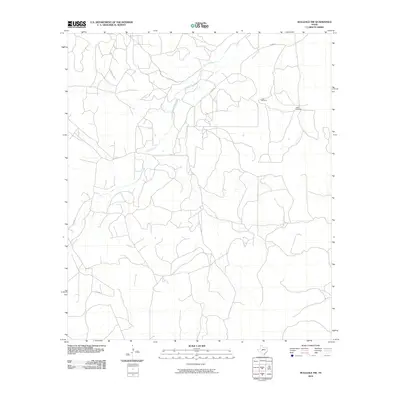
2010 Map of Hulldale NW
USGS Topo · Published 2010About this map
Dove Creek meanders through this landscape of the Texas ranch lands, defining the drainage patterns and local orientation of Tom Green County. The area is characterized by a network of rural routes and specialized landmarks like the Little Windmill and Steel Windmill, which signify the importance of water management in this environment. Private and county infrastructure is marked by labels such as Exxon Ln and Co Rd 113, reflecting the intersection of local transportation and energy industry footprints. Other named thoroughfares like Guinn Rd and Rockhill Rd provide a clear view of the sparse but critical connectivity between homesteads and rural properties during this era.
Find a feature on this map
7 named features on this map. Tap any name to fly to it.
Don’t see what you’re looking for? This feature index may not catch every label — zoom into the map to look around manually.
Map Details
Editions of this 2010 Hulldale NW Map
This is the sole edition of this map. No revisions or reprints were ever made.
Other maps of this area

1895 · Sherwood
USGS Topo · 1:125,000

1924 · Sherwood 1-d
USGS Topo · 1:48,000

1928 · Tankersly
USGS Topo · 1:62,500

1954 · San Angelo
USGS Topo · 1:250,000

1957 · Knickerbocker
USGS Topo · 1:62,500

1958 · San Angelo
USGS Topo · 1:250,000

1965 · San Angelo
USGS Topo · 1:250,000
1972 · Hulldale NW
USGS Topo · 1:24,000
1972 · Cold Creek Spring
USGS Topo · 1:24,000
1972 · Noelke NE
USGS Topo · 1:24,000