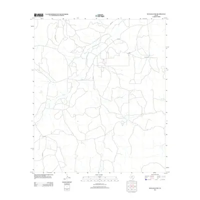
2012 Map of Hulldale NW
USGS Topo · Published 2012About this map
Dove Creek Springs serves as a vital hydrological marker in this portion of Tom Green County, feeding into the winding path of Dove Cr. This landscape is defined by the rural infrastructure of West Texas, where water access dictated movement and ranching patterns long before modern paving. The map detail reflects a transition from traditional livestock water sources, indicated by the Little Windmill and Steel Windmill, to an era of petroleum exploration and updated transportation routes. Local thoroughfares such as Tweedy Rd, Rockhill Rd, and Guinn Rd weave through the terrain, alongside industry-specific paths like Exxon Ln. This 2012 survey by the U.S. Geological Survey provides a precise view of the drainage systems for Burks Cr and the local county road network, documenting the persistent ranching footprint in the Texas interior.
Find a feature on this map
12 named features on this map. Tap any name to fly to it.
Don’t see what you’re looking for? This feature index may not catch every label — zoom into the map to look around manually.
Map Details
Editions of this 2012 Hulldale NW Map
This is the sole edition of this map. No revisions or reprints were ever made.
Other maps of this area

1895 · Sherwood
USGS Topo · 1:125,000

1924 · Sherwood 1-d
USGS Topo · 1:48,000

1928 · Tankersly
USGS Topo · 1:62,500

1954 · San Angelo
USGS Topo · 1:250,000

1957 · Knickerbocker
USGS Topo · 1:62,500

1958 · San Angelo
USGS Topo · 1:250,000

1965 · San Angelo
USGS Topo · 1:250,000
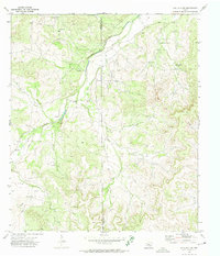
1972 · Hulldale NW
USGS Topo · 1:24,000
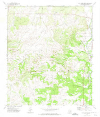
1972 · Cold Creek Spring
USGS Topo · 1:24,000
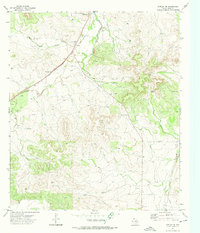
1972 · Noelke NE
USGS Topo · 1:24,000