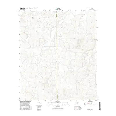
2016 Map of Hulldale NW
USGS Topo · Published 2016About this map
Dove-Creek Springs and the headwaters of Dove Cr anchor this high-plains landscape where Irion and Tom Green counties meet. The terrain is defined by a dendritic drainage network, with Byler Spring and Burks Cr feeding into the wider basin. These water sources were historically vital for cattle ranching and early settlement in this part of West Texas. A sparse network of ranch-to-market and access roads, such as Guinn Rd and Rockhill Rd, weave through the contour lines, indicating the area's continued use for large-scale agricultural and modern energy operations, evidenced by the presence of Exxon Ln. The map serves as a detailed record of water rights and land management in a semi-arid region where every spring and creek bed is a critical landmark.
Find a feature on this map
9 named features on this map. Tap any name to fly to it.
Don’t see what you’re looking for? This feature index may not catch every label — zoom into the map to look around manually.
Map Details
Editions of this 2016 Hulldale NW Map
This is the sole edition of this map. No revisions or reprints were ever made.
Other maps of this area

1895 · Sherwood
USGS Topo · 1:125,000

1924 · Sherwood 1-d
USGS Topo · 1:48,000

1928 · Tankersly
USGS Topo · 1:62,500

1954 · San Angelo
USGS Topo · 1:250,000

1957 · Knickerbocker
USGS Topo · 1:62,500

1958 · San Angelo
USGS Topo · 1:250,000

1965 · San Angelo
USGS Topo · 1:250,000
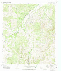
1972 · Hulldale NW
USGS Topo · 1:24,000
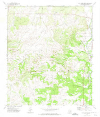
1972 · Cold Creek Spring
USGS Topo · 1:24,000
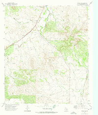
1972 · Noelke NE
USGS Topo · 1:24,000