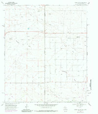
1969 Map of Humble City NE
USGS Topo · Published 1984About this map
The Texpac Oil Field dominates the southeastern quadrant of this West Texas landscape, illustrating the region's industrial focus on petroleum extraction during the late 1960s. The terrain is defined by the ephemeral path of Wards Draw, which cuts through the high plains across the border between New Mexico and Texas. Settlement is sparse, characterized by isolated operations like the Waits Ranch and scattered industrial infrastructure, including a Substa and an Aqueduct.
Find a feature on this map
11 named features on this map. Tap any name to fly to it.
Don’t see what you’re looking for? This feature index may not catch every label — zoom into the map to look around manually.
Map Details
Editions of this 1969 Humble City NE Map
4 editions found
Other maps of this area

1954 · Hobbs
USGS Topo · 1:250,000

1954 · Brownfield
USGS Topo · 1:250,000

1958 · Brownfield
USGS Topo · 1:250,000

1958 · Hobbs
USGS Topo · 1:250,000

1962 · Brownfield
USGS Topo · 1:250,000

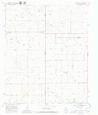
1969 · Humble City
USGS Topo · 1:24,000

1969 · Humble City NE
USGS Topo · 1:24,000

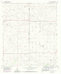
1969 · Humble City SE
USGS Topo · 1:24,000

1970 · Prairieview
USGS Topo · 1:24,000

1970 · Prairieview SE
USGS Topo · 1:24,000