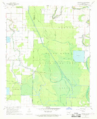
1968 Map of Humphrey SW
USGS Topo · Published 1969About this map
The Bayou Meto State Game Area dominates this landscape, spanning the border of Jefferson and Arkansas counties in the late 1960s. This territory is defined by a dense network of meandering waterways, including Wabbaseka Bayou, Salt Bayou, and Hurricane Slough. The land management patterns of the era are evident in the large Reservoir in the southeast and various ditches designed to control the bottomland hydrology. Settlement is sparse, focused around the community of Vallier and a few rural religious centers such as Corinth Ch and Bayou Meto Ch. For genealogists, the map preserves the location of Williams Cem, providing a precise record of local heritage amidst the wetlands. The presence of a Landing Strip near the bayou suggests the importance of aerial access for agricultural or wildlife management in this water-rich region.
Find a feature on this map
32 named features on this map. Tap any name to fly to it.
Don’t see what you’re looking for? This feature index may not catch every label — zoom into the map to look around manually.
Map Details
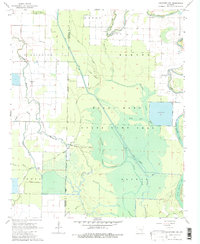
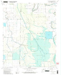
Editions of this 1968 Humphrey SW Map
Other maps of this area

1935 · Altheimer
USGS Topo · 1:62,500

1935 · Varner
USGS Topo · 1:62,500

1935 · Noble Lake
USGS Topo · 1:62,500

1941 · Goldman
USGS Topo · 1:62,500

1948 · Helena
USGS Topo · 1:250,000

1950 · Helena
USGS Topo · 1:250,000

1955 · Helena
USGS Topo · 1:250,000

1959 · Helena
USGS Topo · 1:250,000

1960 · Helena
USGS Topo · 1:250,000
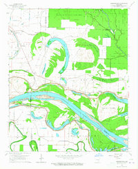
1964 · Cornerstone
USGS Topo · 1:24,000