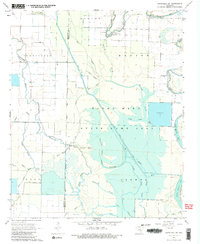
1968 Map of Humphrey SW
USGS Topo · Published 1983About this map
Bayou Meto State Game Area dominates this section of the Arkansas delta, where a complex network of waterways defines the landscape. The intricate drainage system of Salt Bayou, Wabbaseka Bayou, and Hurricane Slough illustrates the region's managed hydrology during the late 1960s. Local life is anchored by small rural institutions such as Corinth Ch, Bayou Meto Ch, and the Williams Cem, while the small settlement of Vallier sits near the eastern edge of the quadrangle. The map details a landscape transitioning from wild bottomlands to agricultural use, marked by features like Fish Lake, Long Pond, and a Landing Strip. The boundary between Jefferson and Arkansas counties cuts through this water-rich territory, following the path of the Salt Bayou Ditch and other natural channels.
Find a feature on this map
46 named features on this map. Tap any name to fly to it.
Don’t see what you’re looking for? This feature index may not catch every label — zoom into the map to look around manually.
Map Details
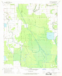
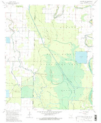
Editions of this 1968 Humphrey SW Map
Other maps of this area

1935 · Altheimer
USGS Topo · 1:62,500

1935 · Varner
USGS Topo · 1:62,500

1935 · Noble Lake
USGS Topo · 1:62,500

1941 · Goldman
USGS Topo · 1:62,500

1948 · Helena
USGS Topo · 1:250,000

1950 · Helena
USGS Topo · 1:250,000

1955 · Helena
USGS Topo · 1:250,000

1959 · Helena
USGS Topo · 1:250,000

1960 · Helena
USGS Topo · 1:250,000
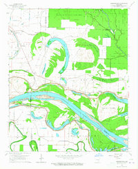
1964 · Cornerstone
USGS Topo · 1:24,000