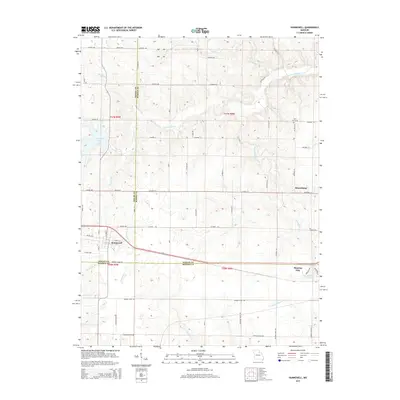
2015 Map of Hunnewell
USGS Topo · Published 2015About this map
Hunnewell sits at the intersection of rural transit and local waterways in this portion of Northeast Missouri. The landscape is defined by the convergence of the Shelby, Marion, and Monroe county lines, where the town of Monroe City extends into the southeastern corner of the quadrangle. A network of rural routes, including Highway CC and numerous numbered county roads, connects the small settlement of Sharpsburg to the surrounding agricultural land.
Find a feature on this map
65 named features on this map. Tap any name to fly to it.
Don’t see what you’re looking for? This feature index may not catch every label — zoom into the map to look around manually.
Map Details
Editions of this 2015 Hunnewell Map
This is the sole edition of this map. No revisions or reprints were ever made.
Other maps of this area

1903 · Palmyra
USGS Topo · 1:125,000

1948 · Quincy
USGS Topo · 1:250,000

1949 · Philadelphia
USGS Topo · 1:24,000

1950 · Philadelphia
USGS Topo · 1:24,000

1956 · Quincy
USGS Topo · 1:250,000

1959 · Monroe City
USGS Topo · 1:24,000

1959 · Lakenan
USGS Topo · 1:24,000

1959 · Joanna
USGS Topo · 1:24,000

1959 · Hunnewell
USGS Topo · 1:24,000
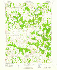
1960 · Goss
USGS Topo · 1:24,000