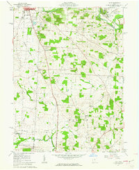
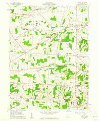
1961 Map of Hunt
USGS Topo · Published 1962About this map
Kenyon College dominates the northeastern topography of this region, situated on a rise overlooking the Kokosing River. The landscape in the early 1960s reflects a rural community defined by its crossroads and watercourses, from the village of Gambier to the smaller settlements of Hunt and Morgan Center. Transportation networks are anchored by the Baltimore and Ohio and Pennsylvania railroads, which parallel the river and cut through the central farmland.
Find a feature on this map
43 named features on this map. Tap any name to fly to it.
Don’t see what you’re looking for? This feature index may not catch every label — zoom into the map to look around manually.
Map Details
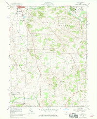
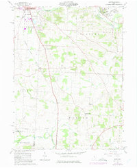
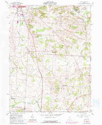
Editions of this 1961 Hunt Map
4 editions found
Other maps of this area

1908 · Granville
USGS Topo · 1:62,500

1909 · Newark
USGS Topo · 1:62,500

1910 · Granville
USGS Topo · 1:62,500

1912 · Gambier
USGS Topo · 1:62,500

1914 · Gambier
USGS Topo · 1:62,500

1915 · Fredericktown
USGS Topo · 1:62,500

1943 · Gambier
USGS Topo · 1:62,500

1943 · Fredericktown
USGS Topo · 1:62,500

1950 · Marion
USGS Topo · 1:250,000
1961 · Fredonia
USGS Topo · 1:24,000