
1929 Map of Hunter
USGS Topo · Published 1929About this map
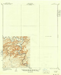
The Guadalupe River carves a winding path through this Comal County landscape, documented by B.A. Jenkins just before the onset of the 1930s. The map illustrates a transitional state of surveying in the Texas hill country, with the southwestern corner meticulously rendered while a large portion remains labeled as a Preliminary Edition Unsurveyed Area. This distinction provides a rare look at the progress of mapping agencies like the State of Texas Board of Water Engineers during the era.
Find a feature on this map
8 named features on this map. Tap any name to fly to it.
Don’t see what you’re looking for? This feature index may not catch every label — zoom into the map to look around manually.
Map Details
Editions of this 1929 Hunter Map
2 editions found
Other maps of this area

1887 · Blanco
USGS Topo · 1:125,000

1894 · Blanco
USGS Topo · 1:125,000

1896 · Austin
USGS Topo · 1:125,000

1897 · Austin
USGS Topo · 1:125,000

1910 · Austin
USGS Topo · 1:125,000

1911 · San Marcos
USGS Topo · 1:125,000

1919 · San Marcos
USGS Topo · 1:125,000

1920 · Smithsons Valley
USGS Topo · 1:62,500

1925 · New Braunfels No 1
USGS Topo · 1:48,000

1925 · Hunter No 3
USGS Topo · 1:48,000