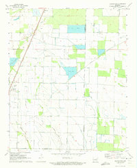
1971 Map of Hunter East
USGS Topo · Published 1973About this map
Agricultural irrigation and drainage networks define this corner of the Arkansas Delta in the early 1970s. The St Louis Southwestern railroad cuts a diagonal line through the landscape, connecting the town of Hunter to the wider region. Outside of the primary settlements like Hillemann and the small crossroads at Four Gums, the area is characterized by an intensive water management system of flumes, siphons, and large Fish Farm facilities. A network of creeks, including Big Creek and Cypress Creek, is supplemented by numerous wells and a prominent Pipeline to support the local economy. Historians will find interest in the path of the Military Road, which runs southeast through the terrain, suggesting a deep layer of transportation history beneath the mid-century farm developments and several scattered Landing Strip locations.
Find a feature on this map
16 named features on this map. Tap any name to fly to it.
Don’t see what you’re looking for? This feature index may not catch every label — zoom into the map to look around manually.
Map Details
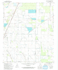
Editions of this 1971 Hunter East Map
2 editions found
Other maps of this area

1939 · Wynne
USGS Topo · 1:62,500

1939 · Hunter
USGS Topo · 1:62,500

1940 · Brinkley
USGS Topo · 1:62,500

1940 · Marianna
USGS Topo · 1:62,500

1948 · Helena
USGS Topo · 1:250,000

1950 · Helena
USGS Topo · 1:250,000

1953 · Memphis
USGS Topo · 1:250,000

1955 · Helena
USGS Topo · 1:250,000

1956 · Memphis
USGS Topo · 1:250,000

1956 · Hunter
USGS Topo · 1:62,500