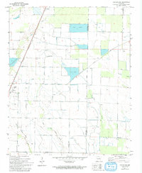
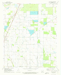
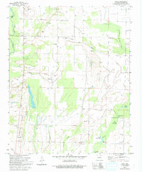
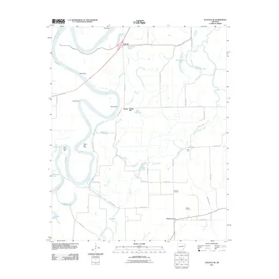
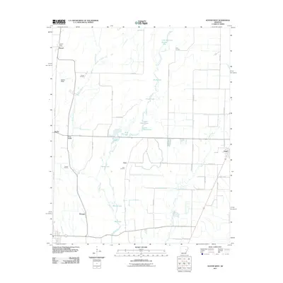
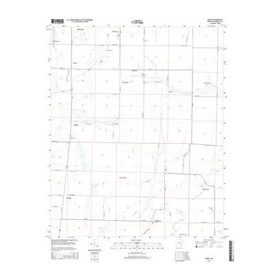
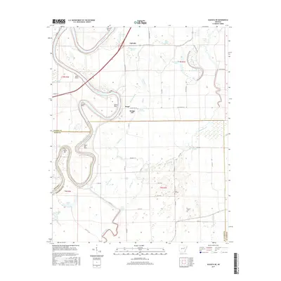
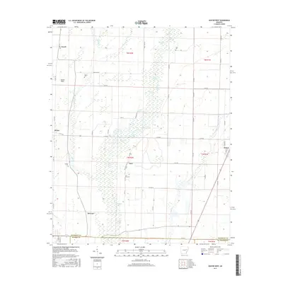
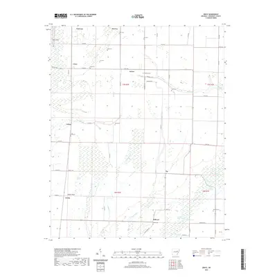
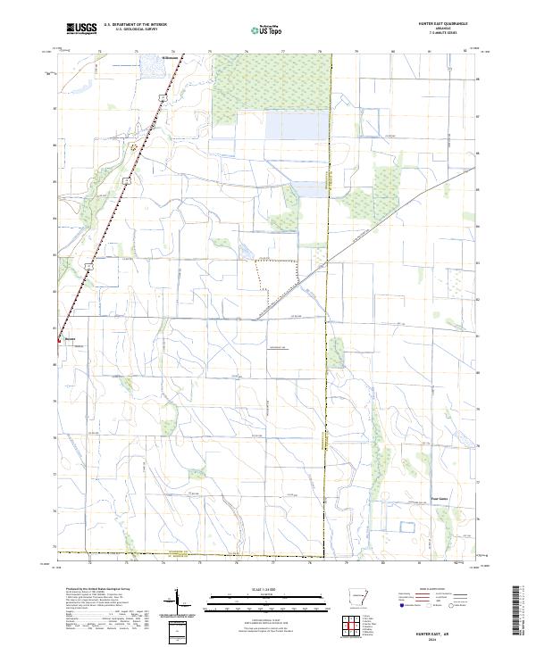
1971 Map of Hunter East
USGS Topo · Published 1993About this map
Hunter and Hillemann anchor this Delta landscape along the St Louis Southwestern railroad corridor during the early 1970s. The geography is defined by a sophisticated water management system of siphons, flumes, and pipelines that support the local agricultural economy, particularly the large Fish Farm operations located north of Old Military Road.
Find a feature on this map
16 named features on this map. Tap any name to fly to it.
Don’t see what you’re looking for? This feature index may not catch every label — zoom into the map to look around manually.
Map Details
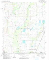
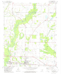
Editions of this 1971 Hunter East Map
2 editions found
Historical Maps of Hunter Through Time
37 maps found
1967 Augusta NE
Woodruff County, AR
1968 De Valls Bluff NE
Woodruff County, AR
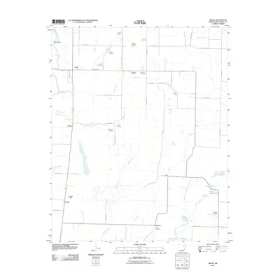
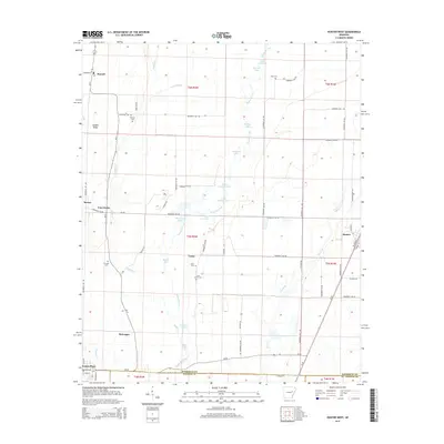
1971 Grays
Woodruff County, AR
1971 Hunter East
Woodruff County, AR
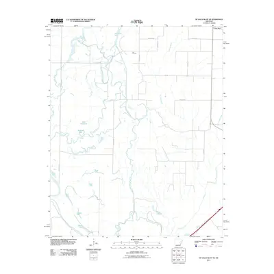
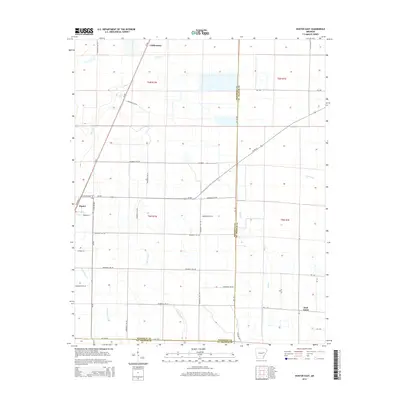
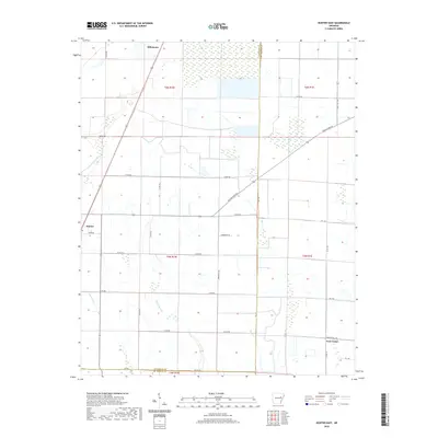
1971 Hunter West
Woodruff County, AR
1980 Mc Crory
Woodruff County, AR
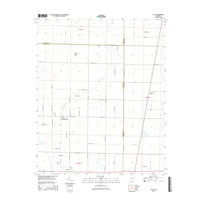
1980 Tilton
Woodruff County, AR
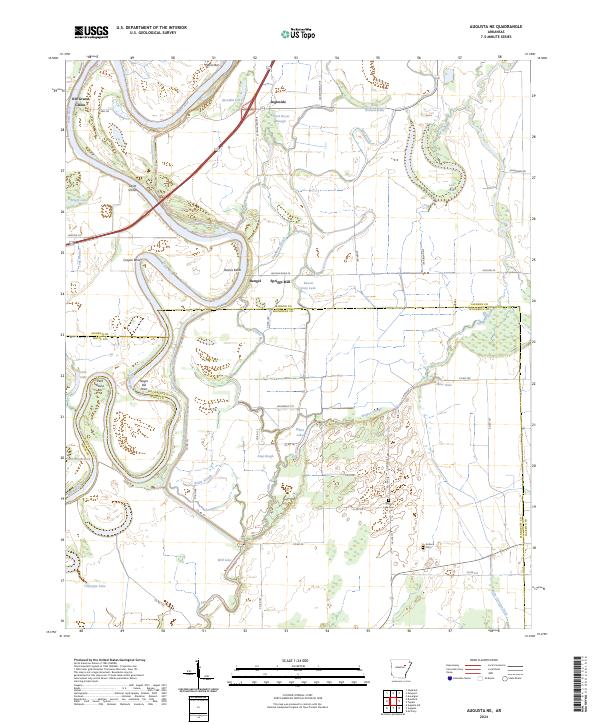
2011 Augusta NE
Woodruff County, AR
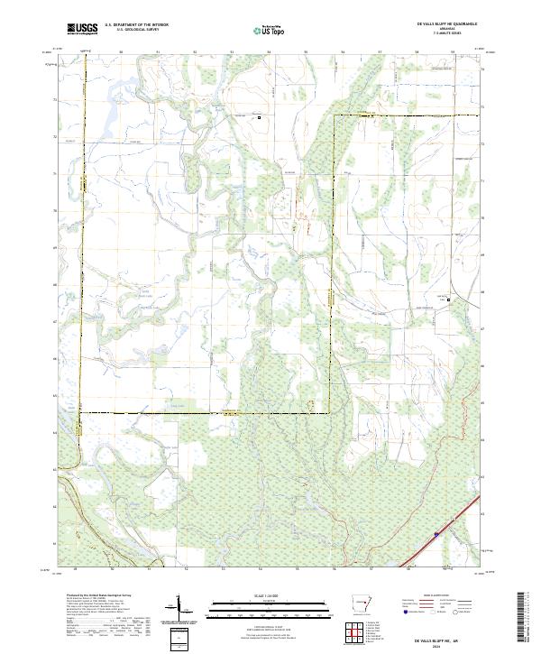
2011 De Valls Bluff NE
Woodruff County, AR
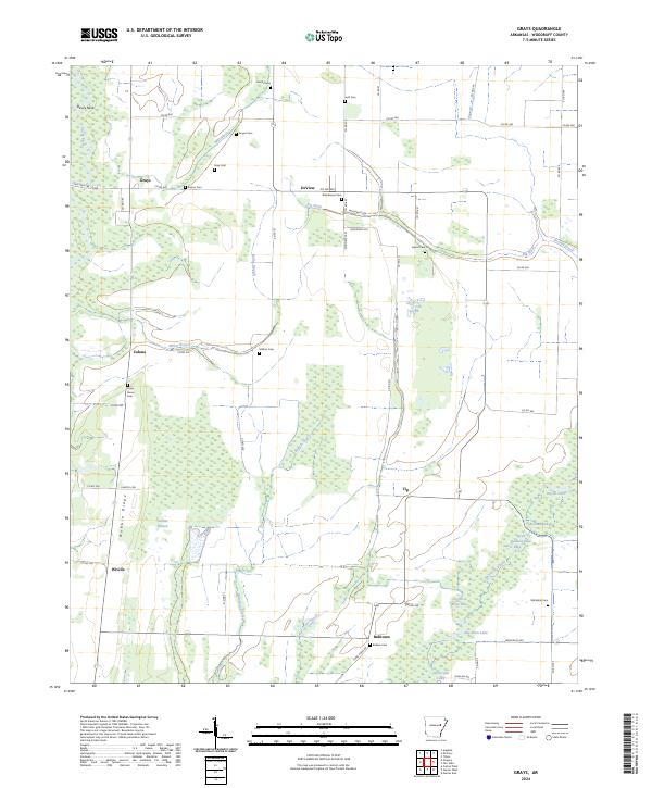
2011 Grays
Woodruff County, AR
2011 Hunter East
Woodruff County, AR
2011 Hunter West
Woodruff County, AR
2011 Tilton
Woodruff County, AR
2014 Augusta NE
Woodruff County, AR
2014 De Valls Bluff NE
Woodruff County, AR
2014 Grays
Woodruff County, AR
2014 Hunter East
Woodruff County, AR
2014 Hunter West
Woodruff County, AR
2014 Tilton
Woodruff County, AR
2017 Augusta NE
Woodruff County, AR
2017 De Valls Bluff NE
Woodruff County, AR
2017 Grays
Woodruff County, AR
2017 Hunter East
Woodruff County, AR
2017 Hunter West
Woodruff County, AR
2017 Tilton
Woodruff County, AR
2020 Augusta NE
Woodruff County, AR
2020 De Valls Bluff NE
Woodruff County, AR
2020 Grays
Woodruff County, AR
2020 Hunter East
Woodruff County, AR
2020 Hunter West
Woodruff County, AR
2020 Tilton
Woodruff County, AR
2024 Augusta NE
Woodruff County, AR
2024 De Valls Bluff NE
Woodruff County, AR
2024 Grays
Woodruff County, AR
2024 Hunter East
Woodruff County, AR
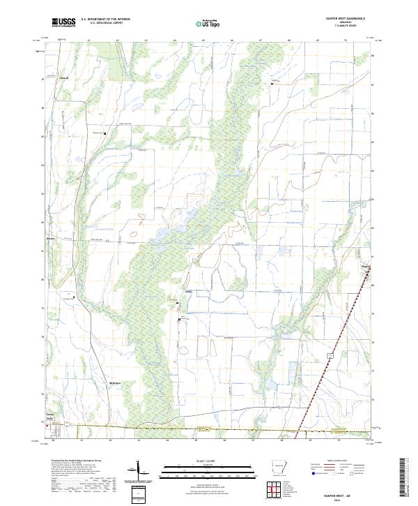
2024 Hunter West
Woodruff County, AR
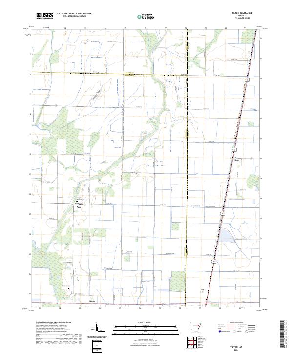
2024 Tilton
Woodruff County, AR